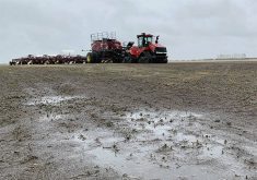
Here is a quick summary of last summer’s weather across the Prairies – June to the end of August.
Alberta saw a consistently warm summer with all three months having above average temperatures. Edmonton reported a mean monthly temperature of around 18 C, which was about 3 C warmer than average. Calgary was next warmest, with a mean summer temperature of 17.5 C, which was about 2 C warmer than average. Peace River reported a mean summer temperature of 16.5 C, which was around 1 C warmer than average.
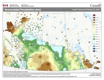
Precipitation over the summer was below average in Calgary and Peace River and above average in the Edmonton region, thanks to a very wet June.
Read Also
Prairie spring forecast: What weather models predict for March to May
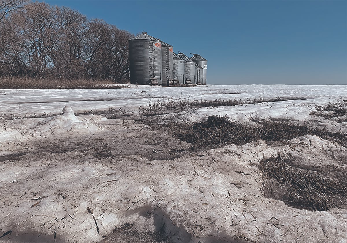
Weather models offer varied outlooks for Prairie spring. This forecast review compares Old Farmer’s Almanac, NOAA, CFS, CanSIPS, and ECMWF predictions for March through May temperatures and precipitation.
Saskatchewan also saw warmer than average temperatures this summer but not to the extent of Alberta.
Saskatoon recorded a mean summer temperature around 18 C, which is about 1 C above average. Regina was a little warmer with a mean summer temperature of about 19 C, about 1 C warmer than average. Precipitation was below average in both locations.
Across agricultural Manitoba, mean summer temperatures came in a little above average, thanks mostly to an extremely warm June.
Both Brandon and Dauphin recorded mean summer temperatures right around 18 C, which is about 0.5 C warmer than average. Winnipeg was a little warmer, at 19 C, which was also 0.5 C warmer than average. All three locations reported below average precipitation.
Overall, the summer of 2023 saw near to slightly above average temperatures in the east, thanks to a very warm June, with temperatures above to well above average moving west. For most regions, this past summer was dry with a large portion of the Prairies reporting below-average precipitation.
As for the latest long-range weather forecasts or predictions for the rest of this year, the latest El Niño event has a 95 per cent probability of lasting right through the winter, with a 70 per cent chance that it will be strong.
El Nino is a weather phenomenon that occurs in the tropical Pacific Ocean. Normally, trade winds blow from east to west across the ocean’s surface. These winds push warm surface waters toward the western Pacific, leaving cooler waters in the eastern part. Cold water wells up to replace the surface water being blown away.
During an El Niño event, the trade winds weaken or even reverse direction. This allows the warm water piled up in the western Pacific to flow back east. When this warm water reaches the central and eastern Pacific, it can have significant effects on weather patterns around the world.
There are three main impacts that El Niño can bring to the Canadian Prairies. The first is warmer than average temperatures. Second is below average snowfall, and third, frequent flips between cold and warm temperatures.
Not all El Niños bring this type of weather and even if they do, it might not last all winter. Looking back at past El Niño events, I found that about 60 per cent bring a warmer and drier than average winter, while 20 per cent have average winters and the final 20 per cent are colder than average.
Do any long-range forecasts call for a typical El Niño winter? Let’s find out.
The almanacs have not done a very good job with this year’s forecasts. Looking at the Old Farmer’s Almanac, it calls for above-average temperatures in October and below average precipitation. November and December are forecasted to have below average temperatures and above average precipitation.
The Canadian Farmers Almanac calls for a colder and wetter than average October and mentions chilly and squally weather several times. November may continue with colder and wetter than average conditions because it mentions cold, rain, snow nearly every week.
Its December forecast calls for near average temperatures and above average precipitation. It mentions stormy weather with heavy snow across Alberta right around Christmas.
Looking at the weather models, NOAA predicts near average temperatures with near to below average precipitation. The CFS’s latest three-month forecast calls for above average temperatures with near average precipitation.
The CanSIP model is calls for above average temperatures and near average precipitation with the possibility of far eastern regions of the Prairies seeing above average amounts.
Finally, the ECMWF (European model) calls for near to slightly above average temperatures and near average precipitation.
With El Nino firmly in place, I will play the odds and predict above average temperatures and below average precipitation to end 2023. I also think we will see big swings in temperature with some very warm periods punctuated with short and very cold periods.


