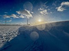

This winter’s El Nino isn’t likely to replenish moisture reserves on the Prairies – at least not directly.
Early forecasts spoke of a “super” El Nino this winter marked by an abundance of snow and mild temperatures. Experts have since stepped it back to a “moderately strong” system with a possibility of mild temperatures. Precipitation is a wild card, said Andrew Pritchard, senior meteorologist with Nutrien Ag Solutions.
He’s optimistic this pattern will benefit the 2024 Prairie growing season, not so much from El Nino itself but the absence of La Nina.
Read Also
Weather whiplash: Alberta saw best and worst of winter this year
Prairie precipitation fell short of average this winter everywhere but Calgary, raising questions heading into seeding.
“La Nina has been one of the biggest drivers in drought across the Canadian Prairies,” he said.
“My optimism increases as we get toward the end of the winter into early next spring without La Nina here. We remove that bigger instigator for drought across the Prairies.”
There’s probably no such thing as a simple explanation of El Nino and its sister, La Nina, but they both involve ocean temperatures along the equator in the Pacific Ocean near South America, and their activity as move toward Australia and the Indian Ocean.

“When we see warmer-than-average ocean temperatures in that area along the equator, that’s known as El Nino, the warm phase. And then the opposite would be the cold phase, which is La Nina.”
On the Prairies, an El Nino pattern is typically associated with a warmer-than-usual winter and greater precipitation moving into the growing season, said Pritchard.
“If you want to look at recent memory, 2015 to 2016 was the most recent very strong El Nino that we experienced. Growing season precipitation across the Canadian Prairies in 2016 was in the top 10 wettest on record.”
However, each El Nino has its own character and the best of this one may play out south of the border, at least in November and early December.
“As we look at precipitation for the rest of November, most forecast guidance is pretty close to average across the Canadian Prairies. We’re expecting two to three larger storm systems to progress, probably across the United States, where we’ll see the areas of low pressure trapped,” Pritchard said.
“But we could still see some precipitation on the north side of the storm systems making their way into the Prairies. So we still expect some episodes here of some light snow or perhaps even some rain as we look at a temperature pattern that is likely to remain mild compared to normal overall through much of November and into the first half of December.
“And I would hope that as the jet stream lifts north, we would see that storm track begin to lift north as well.”
A milder winter won’t mean a lack of cold, but possibly not as cold as usual, said Pritchard.
“We’re talking about a pattern that’s not going to support the big intrusions of prolonged bitterly cold air masses. Overall (we see) the temperatures averaging out a couple of degrees Celsius above average for this time of year.”
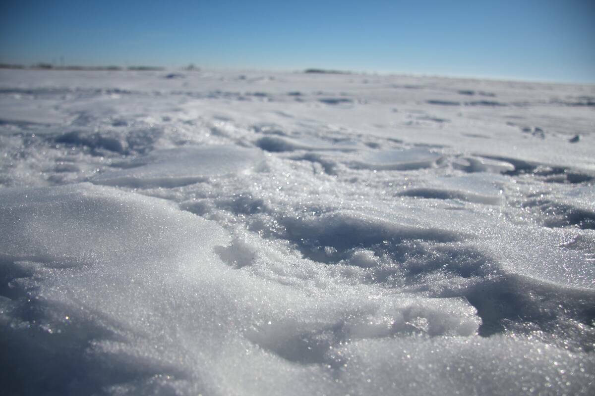
Over the next four weeks, the Prairies will likely see a pattern fluctuating between freezing and sub-freezing temperatures. Any moisture retention will depend on the ability of soil to absorb water over that time.
“There might also be the opportunity for some of the snow that does fall to maybe melt and be absorbed by the soil there,” said Pritchard.
He thinks the best of El Nino on the Prairies will come in spring, although that’s too far away to accurately assess.
“An El Nino wintertime pattern is typically mild but (in this case) there’s not a strong correlation to really heavy precipitation across the Prairies during the winter months.
“So it’s more of a growing season optimism than it is a ‘hey, this winter we’re going to make up that moisture deficit’ kind of thing.”
How long could this El Nino last?
“A lot of it is speculative. We get proven wrong about this kind of thing time and time again,” said Pritchard.
“But we have pretty good forecast guidance right now that this thing will peak as a moderately strong El Nino before starting to weaken as we head through the last part of the spring into summer. So probably around May or June we’ll start to lose that stronger El Nino signal.”
Of course, weather is famously unpredictable and can nullify even the most educated forecasts.
One of these is a polar vortex, a large area of low pressure and cold air surrounding the Earth’s poles. It can expand many times during winter and send cold air southward.
However, Pritchard thinks a polar vortex expansion is unlikely, at least in the short term.
“There’s no strong evidence of that in the next couple of weeks and any other significant wild cards seem to be behaving themselves and hanging out in the background right now.”
Pritchard is headquartered in Champaign, Illinois, but is still able to forecast weather in Alberta, Saskatchewan and Manitoba.
“I work with a team of five other atmospheric scientists and meteorologists and we all do slightly different things,” he said.
“A lot of my emphasis is on severe weather and weather safety. And then I kind of own the Canadian Prairie weather content for Nutrien.
“I’m right in the middle of the American Midwest, but I’ve spent some time up in the Canadian Prairies. It’s 1,000-plus miles away but it also feels very familiar when I’m up there. So it’s a fun challenge doing the weather from 1,000 miles away.”