We have all the weather data from the main reporting stations across the Prairies, so we can review August weather and then look at the latest three-month forecasts or predictions.
Instead of going province by province, I will rank the main reporting sites by mean temperature, how far above or below average it was, total precipitation, and how much above or below average the precipitation was.
Let’s start with the ranking of mean monthly temperatures across the Prairies.
Read Also
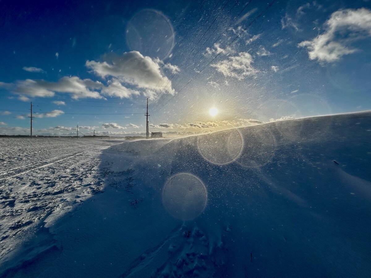
Why is the sky blue?
The colour of the skies, on the Prairies and elsewhere, tells the story of the paths sunlight takes as it enters Earth’s atmosphere, Daniel Bezte writes.
This table shows that Regina and Winnipeg were the two warmest locations, both around 19 C. They were followed by Dauphin, Saskatoon and Brandon, with readings of 18.3 C. Manitoba and Saskatchewan are basically tied as the warmest locations, and Alberta is the cold spot. It’s interesting to see the difference between this year’s mean average August temperature and the long-term average, which is our next table.
This is almost a reverse of the previous table. While Saskatchewan and Manitoba saw the warmest temperatures, this table shows that, with the exception of Regina, Alberta had the warmest temperatures compared to average and Manitoba was coolest.
Next is our look at precipitation, starting with total rainfall.
Compared to temperature data, precipitation data does not seem to follow the same trend. This is not unusual in summer, as much of our rainfall comes from convection or thunderstorms. These storms often travel in lines across parts of one province and into another province.
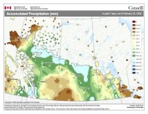
Two things stand out in this data. Calgary and Edmonton received significant rainfall in August. And, if you compare this with the weather map, it doesn’t seem to jive. I know the map does not perfectly cover August, because I didn’t grab the graphic on Sept. 1, but I found there were no missed or extra rainfall events during the first couple of days of August or September, so I’m not sure what is happening.
The second precipitation table shows amounts compared to the long-term average.
Not surprisingly, Calgary and Edmonton come out on top with amounts 20 to 25 millimetres greater than average. On the opposite end, Winnipeg and Brandon were the dry spots at about 30 mm below average.
Overall, it was a slightly warmer than average August with western regions being the warmest compared to average and eastern regions right around average. Precipitation was a mixed bag thanks to the convective nature of summer rainfall. All three Prairie provinces had regions with below-average, near-average and above-average precipitation. This highlights the importance of having a good network of rainfall gauges.
Looking back at August forecasts, it is a close call between last month’s winner, NOAA, and the Canadian CanSIPS model. NOAA called for above-average temperatures over western and central regions with near-average temperatures in the east and near-average precipitation.
CanSIPS called for above-average temperatures in Alberta, near-average in Saskatchewan and below-average in Manitoba, along with below-average precipitation. You decide who wins.
Now the forecast or predictions for the rest of September, October and November. The Old Farmers Almanac calls for above-average temperatures for all three months, with below-average precipitation in September, which will slowly trend toward near-average by November.
The Canadian Farmers Almanac, which is always a little tougher to figure out, appears to call for below-average temperatures and above-average precipitation in September. This will be followed by a cold, wet start to October, with a switch to warmer and drier conditions during the second half of the month. November looks to see mostly cold and wet/snowy weather with a hint of one or two shots of warm air.
NOAA’s latest three-month outlook, extrapolated northward, calls for slightly above-average temperatures and near-average precipitation. The best chance of above-average temperatures is over the eastern Prairies.
The CFS model forecasts well above-average temperatures in September across the Prairies with slightly above-average temperatures in October and below-average temperatures in November. Precipitation looks to be near- to slightly below-average, with only western Alberta expected to see above-average amounts.
The Canadian CanSIPS model is calling for above to well above-average temperature across the Prairies for all three months, along with near- to slightly below-average precipitation. Best chance of below-average precipitation is Manitoba.
The European model or ECMWF forecast calls for generally above-average temperatures with near-average precipitation.
My prediction: September looks likely to be anabove-average temperature month with below-average precipitation. I think that warmer and drier conditions will continue in October, before slowly transitioning toward near- to below-average temperatures with near- to above-average precipitation in November.


