In the last issue I began to look at the latest release by the Intergovernmental Panel on Climate Change (IPCC). In that issue I looked at just what the report is, who creates it, and how it is put together and reviewed before being released. I then began to explore the first key pieces of information, including how much we have warmed and what the likely cause of the warming is. In this article I’ll take a look at a few more climate questions and see what the report has to say in regard to those questions.
Read Also
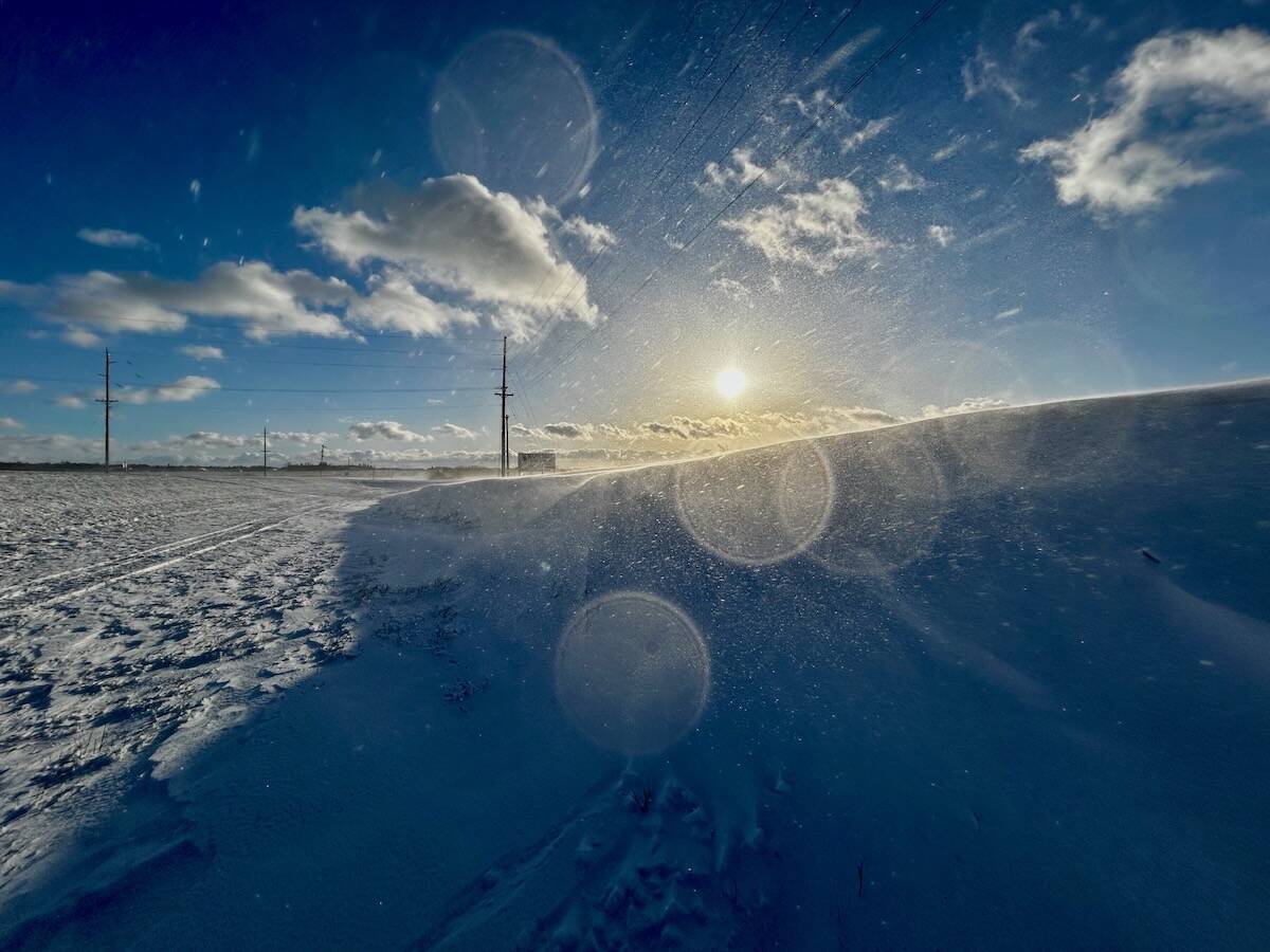
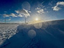
Why is the sky blue?
The colour of the skies, on the Prairies and elsewhere, tells the story of the paths sunlight takes as it enters Earth’s atmosphere, Daniel Bezte writes.
The first couple of questions are about the Earth’s oceans. The main question is what is happening with sea levels. The report states that the global average sea level has risen about 19 cm since 1901 and that the rate of sea level rise has increased from about 1.7 mm/year (when looking at the average increase between 1901 and 2010) to 3.2 mm/year (when looking at the average increase between 1993 and 2010).
Projections are that sea levels will rise a further 26 to 98 cm by 2100. This upper extreme of 98 cm is actually considered a conservative number as there are several studies which have upper limits of around 200 cm by 2100. Looking at a longer period, the report states that we could expect sea levels to rise by as much as 300 cm by 2300.
Along with sea levels rising the oceans are also undergoing increased acidification from the elevated carbon dioxide in the atmosphere. According to the IPCC the world’s oceans have seen a 26 per cent increase in hydrogen ion concentration since the Industrial Revolution, with the average pH dropping from 8.2 to 8.1. The report indicates that the average ocean pH level will likely drop another 0.06 to 0.3 units. Estimates are that by the end of this century, the oceans will have a lower surface pH than any time in the past 50 million years.
Extreme weather
Now on to a couple of topics that are a little closer to home — extreme weather events and droughts. When it comes to extreme weather Albertans only have to remember back to earlier this year when extreme rainfalls over western regions brought record flooding to many areas.
According to the report, it is likely that the frequency or intensity of heavy precipitation events has increased in North America and Europe.
The IPCC indicates that it is very likely that the number of cold days and nights has decreased and the number of warm days and nights has increased globally. It states that it is likely that the frequency of heat waves has increased in Europe, Asia, and Australia.
In regards to drought the report didn’t have much in it. Drought is probably one of the most important possible consequences when it comes to climate change. Almost everything we do requires water, not to mention that without it we wouldn’t live long. An increase in drought length and frequency would have a direct impact on water levels available for both human consumption and for irrigation.
What little this first part of the report says about drought is that there is about a 20 per cent chance that we have already observed human-caused increase in frequency and duration of drought, which is actually down from the report released in 2007. The longer-term outlook is that it is likely that dry areas will get drier due to human-caused climate change.
That’s about it for this first part of the IPCC report. More information will be released in March 2014 when the Impacts, Adaptation, and Vulnerability report is due to be released. So, if you are tired of hearing about this then you have the rest of the winter off!
Winter outlook
Talking about winter, it looks like Alberta will be staying on the warmer side of what looks to be a fairly cool late-fall pattern developing across Canada over the next couple of weeks. The medium-range weather models are showing a large area of low pressure dominating Western Canada, with a ridge of high pressure building over B.C. and Alberta. This would keep these regions nice and mild, well at least mild for late October and early November. This doesn’t mean there won’t be the occasional shot of cold air, but the models have been pretty consistent with the overall pattern remaining mild. Let’s hope the weather models get it right!
Global mean sea level will continue to rise during the 21st century.