Most of you probably know that I don’t live in Alberta, so when I have to talk about Alberta’s weather I depend on the network of weather station data, my knowledge of typical Alberta weather and feedback from you the reader. I have to admit, it can be tough to discuss the weather when you haven’t actually lived it.
When I look back at December 2013 across Alberta I come up with just one word… wait, make that three words… cold and snowy! I’ve studied weather and climate since I was in kindergarten — that’s right, kindergarten. I actually have a weather book from then that was given to me by my teacher because I was so interested in it. So, I know all about chinooks and Alberta’s wild temperature swings, especially in winter, but until you look at the data or live it, you just can’t really understand what it’s like.
Read Also
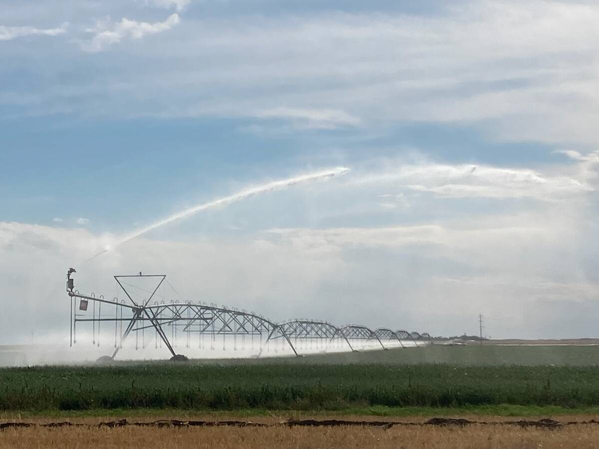
Southern Alberta irrigation district sets healthy 2026 water allocation
Southern Alberta farmers get good news in their water allotment for the 2026 growing season, which has nearly doubled in two years emerging from drought.
If we look back at the overall numbers for December you can lose a lot of information. Take Calgary as an example for the southern part of the province. The overall mean temperature for December was -9.5 C, which was over 2 C below the long-term average. From a climate point of view that was a cool month. Now, if we look at the daily temperatures during December we would see that the first week or so saw some extremely cold temperatures, with daytime highs on Dec. 6 only making it to about -25 C and overnight lows dropping below -30 C.
Then, by the middle of the month, highs were pushing the 10 C mark. A week later, and highs were struggling to make it to -10 C with overnight lows in the low -20 C range. Then Christmas came and temperatures once again soared, with a high on the 27th again pushing 10 C before temperatures cooled down a bit as the year ended.
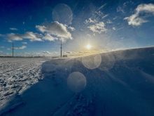
Along with this temperature roller-coaster came lots of snow. Each time the cold air moved in, it came with snow, and by the end of the month snowfall was around 50 cm, or nearly three times the long-term average.
In the north
Farther north the story was much the same, just a little more extreme. Using Edmonton as our main centre we find that December 2013 was almost 4° colder than average, with a mean monthly temperature of -15 C. The month, just like in Calgary, started off cold, but by the 6th temperatures just got downright ridiculous, as overnight lows fell to -40 C in some areas. With the coldest temperature measured in my own backyard being -44 C, I know just how you felt — it’s not much fun!
A week later warm air moved in with highs moving above zero by the 15th of the month. The rest of the month saw temperatures swing back and forth between extreme cold and above-zero weather. One day you had lows pushing -40 C and two days later you hit above zero for highs!
Just like in the southern regions, December saw a lot of snow. In fact, looking at the data for Edmonton it seemed to have snowed just about every day! There was measurable snow on 22 days with another eight days reporting a trace. That comes out to a remarkable 30 out of 31 days with some snow falling from the sky. It would take me a fair bit of time to check back through the records on this, but I wouldn’t be surprised if this was a record. When all of the snow was added up it came out to about 40 cm, more than twice the average for the month.
Forecasts
Now, it’s a little late to bother looking at the rest of January (it should be warmer than average), so let’s look ahead to see what the rest of winter and early spring might bring us.
According to Environment Canada, the January to March forecast shows the rest of winter on the cold side, but we need to look at their other forecasts to be sure. The next forecast that EC makes covers the period of February to April. In this time frame they are showing us moving towards average temperatures. This trend continues for the March to May period and then transitions into a warmer-than-average forecast for April to June. The way I interpret this is that we’ll see a slow warming trend (compared to average) from now until summer — not a bad forecast.
The Old Farmer’s Almanac shows slightly below-average temperatures for February and March, with a transition to above-average temperatures in April and May. They also predict a lot of snow in February, followed by a dry March and then a wet April. Over at the Canadian Farmers’ Almanac they appear to be calling for cold snowy weather in February and March, with a fair bit of talk about very cold weather, snow and storms. The cold wet weather looks to continue into April with the mention of very cold, weather once again, along with several mentions of rain. May also starts off on the cold and wet side, so all in all, not the best long-range forecast.
Finally, my forecast is based on my gut instincts. This forecast is telling me that we’ll be seeing a mild second half of winter with near-average precipitation. This will then transition into well-above-average temperatures and below-average precipitation as we move into spring.
Now it’s time to sit back, enjoy the weather we do get as best as we can, and see who lucks out with the most accurate forecast!