I know I have promised to take a look at big snowfall events for a while now, but I kind of forgot that the end of the month was coming and that is typically when we do our look-back and look-ahead at our Prairie weather.
Besides, the way the weather is going it doesn’t look like we’ll have any big snowfall events happening, at least until the middle of December, if not later.
Another month has come and gone, and while it will take a while for the global temperatures for November to come out, across the Prairies it has been a pretty darned warm month. All three Prairie provinces recorded mean November temperatures well above the long-term average, with the warmest values occurring in the eastern Prairies.
Read Also
Weather whiplash: Alberta saw best and worst of winter this year
Prairie precipitation fell short of average this winter everywhere but Calgary, raising questions heading into seeding.
The three main regions of agricultural Manitoba recorded mean monthly November temperatures that were about 4.1 C above average. Usually, when you get monthly values that are this far above average you would find at least a few days that broke record highs, but during the month very few if any daytime records were broken. While there were definitely some warm days with highs in the low to mid-teens, it was the overnight lows that really made the difference. For example, Winnipeg, on average, will see about two days with overnight lows above the freezing mark. This November, the city recorded 10 days with overnight lows above freezing.
The mild temperatures were also felt in Saskatchewan, with both Regina and Saskatoon recording mean monthly temperatures that were about 3.5 C above average. Across Alberta the warmest temperatures compared to average were found in the Peace River region, where the monthly mean was just shy of 3.0 C above average. In both the Edmonton and Calgary regions, mean monthly temperatures were between 1.5 and 2.0 C above average.
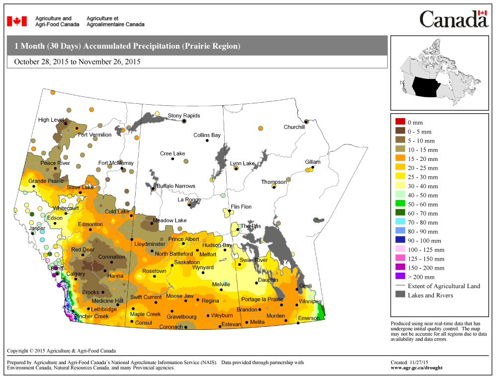
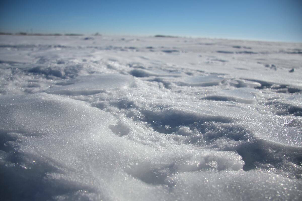
While November temperatures were uniformly warm across the Prairies, precipitation was not quite as even. In Manitoba, central regions were the driest, with Winnipeg recording less than half of its average. Amounts increased as you moved west, with both the Brandon and Dauphin regions seeing near-average amounts. This pattern continued across Saskatchewan with both Saskatoon and Regina reporting near-average amounts for the month. In Alberta, southern regions also reported near-average amounts, but both the Edmonton and Peace River regions reported below-average amounts.
To summarize, all three provinces reported well-above-average temperatures and near-average amounts of precipitation, with the exception of central Manitoba and central and northern Alberta, where below-average amounts were recorded.
Looking at the different long-range forecasts that were made for November, I would have to say that none of them were perfectly on the mark. But the closest two were Environment Canada and my own forecast that both called for above-average temperatures along with near- to slightly above-average amounts of precipitation.
Looking ahead to December, most of the medium-range weather models are pointing towards a continuation of well-above-average temperatures and below-average precipitation, but these models only predict out to about the middle of the month. So what are the longer-range monthly forecasts calling for?
Environment Canada is following the lead of the medium-range forecasts and sticking with an El Niño forecast, which means a continuation of mild dry weather. The Old Farmer’s Almanac, if you recall, called for very cold weather to move in during the last week of November and predicted this cold weather (which never happened) would continue right through December. Interestingly, along with the cold weather, it predicted below-average amounts of snowfall. The Canadian Farmers Almanac, which predicted stormy weather to end November (which also never happened), appears to be calling for near-average temperatures in December as it mentions cold weather once and fair weather twice. It does seem to be leaning towards above-average amounts of snowfall with several mentions of stormy weather, especially during the holidays late in the month.
Finally, my long-range forecast. According to the number of birds I am seeing outside in my backyard it must mean that it will be a cold month coming up… oh wait… that might have to do with two new bird feeders!
Actually, I am going with Environment Canada and predicting that El Niño will help to continue our mild weather trend with a very warm first half of the month. It then looks like things will cool down a little bit during the second half of the month, but still be above average. Along with the cooler weather during the second half of the month will come a better chance of seeing some snowfall, but overall, most regions will see below-average amounts.
Next time I promise we’ll look at the history of big winter snows… really, we will!