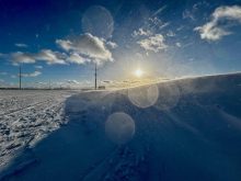
Yet another month has come and gone, and for most of us across the Prairies, March 2018 was not one we really care to remember.
After a warm start to 2018 that saw January temperatures averaging from 1 C to 3 C above the long-term average across all three Prairie provinces, cold weather moved in for February and has never really left.
After seeing temperatures in February that were from 3 C to 7 C below the long-term average, most of us were hoping that March would be a little kinder. At times it was, and it looked as though the cold snap that began in February might finally come to an end, but Mother Nature had other ideas.
Read Also
Weather whiplash: Alberta saw best and worst of winter this year
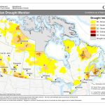
Prairie precipitation fell short of average this winter everywhere but Calgary, raising questions heading into seeding.
Starting in the west, Alberta saw the coldest temperatures in March, at least compared to average, with all three of the main locations (Calgary, Edmonton, and Peace River) reporting mean monthly temperatures that were about 3.5 C below the long-term average. Things were only slightly better in Saskatchewan, with Saskatoon reporting a mean monthly temperature that was 3.2 C below the long-term average and Regina coming in at 3.4 C below average. As we continue east into Manitoba things were a little better. Both the Brandon and Dauphin regions saw mean monthly temperatures that were about 1.0 C below average. Winnipeg was the warm spot, compared to average, with a reading that was 0.3 C below average.
Looking at the actual temperatures, Calgary was the warmest spot in March, with a mean monthly temperature of -5.1 C and Peace River was the cold spot with a temperature of -9.1 C.
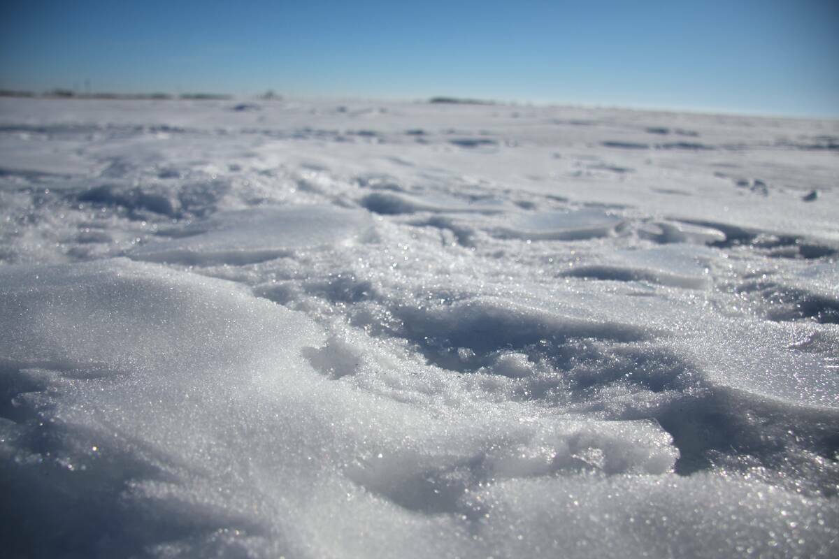
Along with the cold weather came plenty of snow, especially in Alberta. All three of the main locations in Alberta saw between 25 and 35 centimetres of snow during the month, which is around 10 to 15 centimetres above average. Saskatchewan saw near-average amounts of snow, with 20 centimetres reported in Regina and 15 centimetres in Saskatoon. Across Manitoba, the Brandon region was the snowiest, with nearly 40 centimetres of snow reported (about 15 centimetres above average). The Dauphin and Winnipeg regions missed out on much of this snow, with both locations coming in slightly below average.
Overall across the Prairies, March was much colder than average, with near- to above-average amounts of precipitation. Looking back at the different forecasts it looks like none of them were correct. The National Oceanic and Atmospheric Administration (NOAA) and the Canadian Farmers’ Almanac were the only forecasts that called for above-average amounts of precipitation, but they missed out on the temperatures — as did all the other forecasts.
So with not a great track record, let us see what the current medium- to long-range forecasts are predicting for the rest of April.
According to Environment Canada, we will see below-average temperatures along with near-average amounts of precipitation. Both NOAA and the Climate Forecast System models are also calling for below-average temperatures along with near-average amounts of precipitation in most regions, but above-average amounts in southern Alberta. The Old Farmer’s Almanac is calling for slightly below-average temperatures and well-above-average amounts of precipitation. The Canadian Farmers’ Almanac seems to be predicting near-average temperatures and precipitation as it mentions fair several times along with the odd shower and only mentions stormy conditions once.
Finally, my kick at the weather cat.
With the current cold snap looking to stay firmly in place until at least the middle of April, it is pretty much a shoe-in that April will see below-average temperatures. As for precipitation, with signs that the main storm track will start to shift northwards, it looks like April will end up seeing above-average amounts of precipitation. The worst part is that a cold and wet April usually means a snowy April. On the bright side, nearly all of the long-range weather models are pointing towards a shift in late April to a much warmer pattern that will lead to well-above-average temperatures in May.
To wrap up this issue I wanted to take a quick look back to see just how the whole extended winter season turned out weather-wise across the Prairies.
I call it the extended winter season, since winter is usually defined as being the months of December, January, and February. But those of us in the Prairies know winter is more like November to March.
After crunching all of the numbers for the major centres across the Prairies, winter temperatures averaged between 0.9 and 2.1 C below average. The warmest region, compared to average, was across Manitoba, with the coldest regions being across southern Saskatchewan and Alberta.
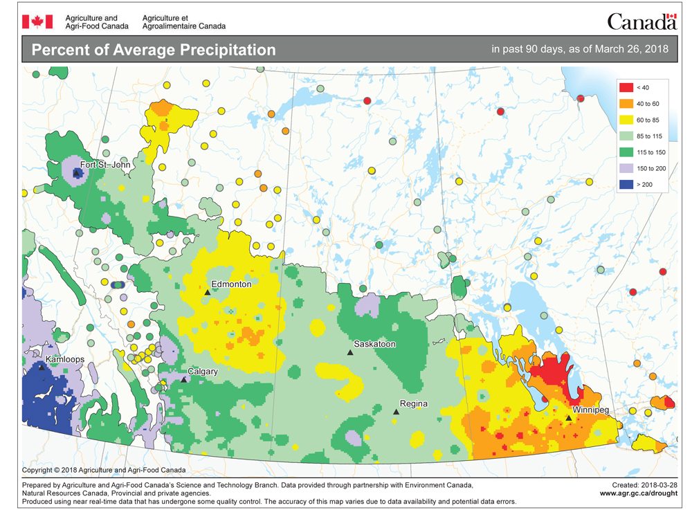
Precipitation was more varied, with southern Manitoba seeing well-below-average amounts. The Winnipeg region was the driest spot, coming in at about 55 millimetres of water equivalent precipitation below the long-term average. Saskatchewan was also drier than average, with Regina reporting a deficit of about 30 millimetres and Saskatoon a deficit of 12.5 millimetres. In Alberta it was north versus south, with the Edmonton and Peace River regions seeing near-average amounts of precipitation, leaving Calgary as the Prairie wet spot. That area recorded nearly 140 millimetres of precipitation, which is about 75 millimetres above average.
Overall, it was a colder-than-average winter across the Prairies. It was drier than average across central and eastern regions, with near-average amounts in the west (with the exception of the southwest, which was notably wetter than average).