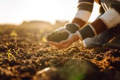
Scanning your field with what is essentially a geiger counter may seem like a strange way to find out which areas might yield the most, but it works pretty well, says a digital ag expert.
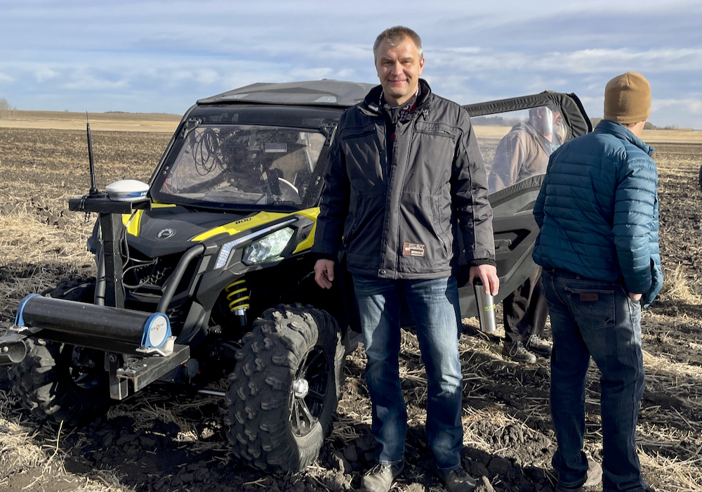
“In combination with soil sampling, gamma ray measurement can be used for soil modelling, creation of site-specific nutrient maps and general soil fertility analysis,” said Alex Melnitchouck, chief technology officer of digital ag at Olds College.
Gamma ray spectrometry maps the variability of soil minerals across a field by sensing their levels of natural radioactivity. Its main advantage is its ability to define management zones containing different soil and mineral types, in the process making variable-rate mapping easier and faster when combined with ground truthing, he said.
Read Also
Alberta farmer invited to World Economic Forum
Southern Albertan farmer’s regenerative agricultural practices featured on panels at Davos where nations come together in partnership.
“Another plus is that soil moisture conditions do not affect the accuracy of the results,” said Melnitchouck, who studied the usefulness of Ontario-based SoilOptix’ GRS sensing tool.
While some might balk at the idea of using radiation near themselves and their families, the kind of gamma ray spectrometers produced by SoilOptix won’t hurt you, said Melnitchouck. (Nor will you turn into the Hulk, a cartoon superhero created by gamma radiation.)
“Only passive gamma sensors are currently used in agriculture,” he said. “We’re not using any active sources of radiation. We’re just capturing the natural level (of radiation) using this technology. It isn’t any different than if you’re just driving a tractor in the field.”
How it works
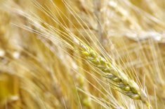
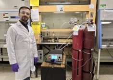
Additionally, different soil types contain different natural concentrations of radioactive potassium, uranium and thorium. These elements are uniquely, naturally equipped to help farmers and agronomists detect varying soil types and textures. The SoilOptix machine (which is driven across a field attached to a ground vehicle) detects the low levels of radiation emitted by these isotopes in the soil.
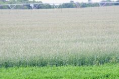
The instrument proved remarkably effective on the Smart Farm, said Melnitchouck.
Ground truthing of the gamma ray zone map revealed several similarities between the two measurements.

“It was able to identify the wet spot on the north side of the field, the low-yielding area in the southeast part of the field and the highest-yielding area on the west side of the field,” he said.
The gamma ray spectrometry tech itself does not determine concentrations of soil nutrients. Rather, the data that is gathered is divided into several management zones, where additional “calibration” soil samples in each zone are required to produce a soil nutrient map.
“Based on soil samples in each zone or soil type and yield goal in each zone, agronomists can estimate and calculate how much fertilizer should be applied in each zone,” said Melnitchouck.
“The purpose of any kind of sensing like this is that we want to study field variability and translate that field variability analysis into some type of management decision.”
Integration needed
But it’s not the only one. There are a lot of systems today measuring variability in soil, plants, yields and other growth factors. If there’s a problem with the variable-rate technology (VRT) ecosystem today, he said, it’s that these technologies don’t speak to each other very well. And that puts farmers off.
Integration, automation, streamlining and other push-button solutions are the keys to mass acceptance of variable-rate technology by producers, he said. Sometimes it is even confused with auto steer software.
“With auto steer you just ride and you enjoy it. You don’t have to do anything,” said Melnitchouck. “VRT is way more complicated. Although you will likely get additional profit or save some of your resources, you have to hire a consultant, sit down with them and discuss the goals of what you’re trying to achieve and then that consultant will go to the fields and collect soil samples.
“There are so many additional operations that are currently required.”
Melnitchouck doesn’t know how or when that automation and streamlining are going to happen, but the Olds College Smart Farm is already on the case.
“What I would like to see for this technology is thinking about integrating soil data with plant data and yield data,” he said.
“One of the things we’re working on is integrating the data from many different layers. It’s very important to understand what is available to a crop in the soil in terms of nitrogen, phosphorus and potassium (NPK), micronutrients, water and so on. We need to know how much a plant will be able to uptake from the soil.”
An ideal integrated variable-rate system would take into account these and almost countless other factors that impact plant growth, he said.
“There are so many factors involved in crop yields including varieties, machinery, soil type, NPK, organic matter, calcium, magnesium, radiation, wind speed, wind direction, precipitation, slope position, slope direction and many others.”
Variable rate of crop protection products is an example of where the more layered sets of data you have, the better, said Melnitchouck. And if it’s automated, it would make producers’ application decisions much easier.
“It’s not just about analyzing risk of diseases or analyzing variability of crop conditions — it’s about integrating both types of information. You need to have reliable, precise sources of weather data in the field so once you can integrate all of those layers and produce that VRT map in near-real time or in real time, it will be a no-brainer to use.”