Forecast issued Feb. 4, covering Feb. 4 to 11, 2026
Highlights
- Warm, spring-like temperatures to continue across Alberta
- Above-zero temperatures will arrive in Saskatchewan
- Manitoba will benefit from milder temperatures with chances of light precipitation
Overview
As forecasted, we definitely saw the east-west temperature gradient across the Prairies this past forecast period. A strengthening ridge of high pressure brought very warm temperatures to much of Alberta last week, with some locations pushing or even breaking records.
Read Also
Prairie forecast: Arctic air keeps spring warming at bay
This week’s forecast: Arctic high pressure is expected to drop southward into the Prairies later this week and into the weekend, keeping temperatures below average.
Meanwhile across Manitoba, while temperatures did moderate slightly over the weekend, persistent winds made it feel like the region remained locked in the deep freeze. Another blast of Arctic air on Monday sent overnight lows plunging back toward the -30° C mark.
Saskatchewan experienced a mix of both the mild Alberta conditions and the colder Manitoba air, but overall saw temperatures close to seasonal late-January averages.
More weather coverage: Wind chill is important by confusing
For this forecast period, the mid-winter warm spell looks set to continue across Alberta as the upper ridge strengthens early on. This ridge is forecast to build eastward and then gradually shift southeast as it begins to weaken early next week. This pattern will help moderate temperatures across the eastern Prairies while also keeping most regions relatively dry.
Early next week, the ridge is expected to collapse toward the southeast as an area of low pressure moves into central Alberta from the Pacific late Saturday or Sunday. This low will track eastward across the southern Prairies early next week. This will bring a swath of snow, possibly mixed with rain or freezing rain across central regions.
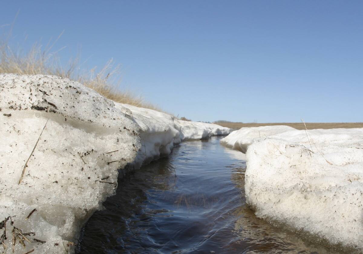
Cooler, more seasonable air will slide southward into Alberta behind the low. However, temperatures are still expected to remain near or slightly above average. Across Saskatchewan and Manitoba, temperatures should continue to trend above average, with no signs of a major Arctic outbreak.
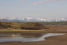
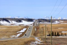
Alberta
Early spring-like weather looks set to continue for the next several days as a fairly strong upper ridge remains in place across the province. With plenty of sunshine, daytime highs are expected to reach the low to mid-teens across southern regions, while central areas see highs around the 10° C mark.
These mild temperatures should persist through Saturday or Sunday before an area of low pressure moves in from the Pacific and pushes the ridge southeastward. This system will bring some precipitation to far northern regions late Saturday into Sunday.
As the low moves eastward, a cold front is expected to drop southward Sunday or early Monday, bringing cooler temperatures and a brief period of light snow or rain — depending on timing.
Daytime highs are expected to fall back to around the freezing mark by Monday, with temperatures hovering near that level through Tuesday and Wednesday.
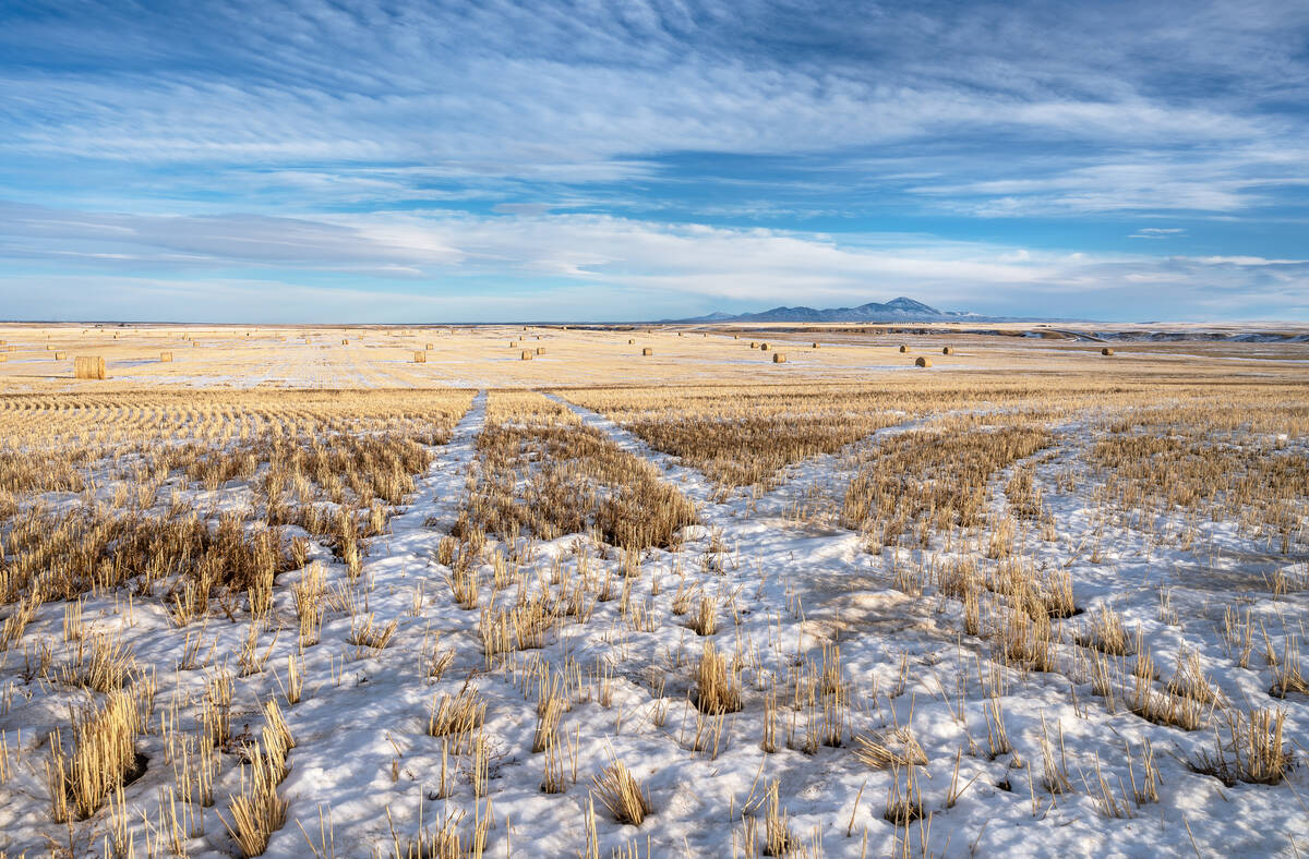
Saskatchewan and Manitoba
Saskatchewan will see above-freezing temperatures arrive as early as Wednesday as the Alberta ridge expands eastward. Daytime highs are expected to warm to around 3° C on Wednesday before climbing into the 5° to 8° C range from Thursday through to Saturday or Sunday.
Manitoba should finally see above-freezing temperatures return on Thursday. However, a passing area of Arctic high pressure is expected to clip the region on Friday, temporarily dropping temperatures again. Milder air is forecast to return over the weekend, with daytime highs expected to range from 0° to 4° C.
More weather coverage: Southern Alberta farms explore ultra-early seeding
An area of low pressure is forecast to track from central Alberta to southeastern Manitoba by Monday or Tuesday. This system will bring a mixed bag of precipitation to areas north of its track. At this time, precipitation amounts appear relatively light. Temperatures will cool slightly once the system passes, with daytime highs on Monday and Tuesday expected to range between -5° and -2° C.
Looking further ahead, the weather models are showing relatively mild conditions persisting right through to Valentine’s Day and the February long weekend with no significant storm systems expected.