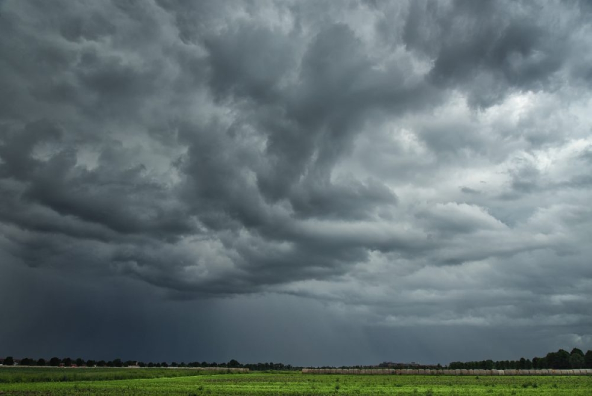
I thought last weeks forecast was going to be more predictable, but the nature of the weather systems this summer are making it hard to figure out the finer details! For this forecast period we start with a small but fairly potent area of low pressure lifting northwards through Manitoba. Meanwhile, weak high pressure is covering Alberta and Saskatchewan.
The weather models then show a large area of low pressure developing over Wyoming while a second disorganized low tracks into Alberta on Thursday. These two systems will interact and merge on Friday to create a strong area of low pressure over Manitoba.
Read Also
Get farmers in on federal water security strategy planning, CFA says
Farmers should be involved in the development of a Canadian fresh water security strategy, the Canadian Federation of Agriculture says.
This low looks like it will stall out over Manitoba and Saskatchewan over the weekend to bring what a couple of days of clouds, showers, and cooler temperatures. Further west, weak upper-level ridging will begin building in over the weekend. This will bring an end to unsettled weather and allow for plenty of sunshine and warm temperatures.
As we move into next week, the low over Manitoba is forecasted to lift northeastwards. The large counterclockwise circulation around the low will pull cool and unstable air southwards across the eastern Prairies.
Western regions will continue to see sunny and warm conditions to start the week before an area of low pressure tracks across the northern Prairies on Wednesday. This low will bring a chance of showers and thunderstorms across central and northern Alberta. The low will also help to push the upper-level ridge eastwards to bring a return to sunny and warm temperatures across Manitoba and eastern Saskatchewan.
Alberta
A disorganized area of low pressure is forecast to push into the province from B.C. on Wednesday. This should bring a mix of sun and clouds to most regions with the chance of afternoon showers and thundershowers, especially over western regions.
On Thursday, this low will begin to interact with a developing area of low pressure over Wyoming which will help it intensify. Expect cloudy conditions with a good chance of showers and thundershowers right across the province. Central regions should see the best chance of precipitation.
Unsettled conditions will persist into Friday as the low slides eastwards and consolidates. Skies should clear out on Saturday as upper-level ridging builds across the region. Expect sunny skies through the weekend and into the beginning of next week. Daytime highs should be inn the mid twenties and overnight lows in the mid teens.
By the middle of next week, the models show an area of low pressure developing over the Yukon and then pushing eastward. Should this system develop, it will likely drag a cold front across northern and central regions on Wednesday which would be the focus of showers and thunderstorms.
Saskatchewan and Manitoba
A compact area of low pressure is lifting northeastwards through Manitoba to start off this forecast. This low is bringing a mix of sun and clouds with scattered showers and thundershowers to most of Manitoba and east central Saskatchewan. The low will pull out of the region late on Wednesday to allow for clearing skies and warm temperatures on Thursday. Daytime highs are forecasted in the mid to upper twenties.
On Friday an area of low pressure pushing eastwards out of Alberta will begin to interact with an area of low pressure to our south. The weather models show the two systems merging into a large and strong area of low pressure over Manitoba.
As the systems interact, they will bring a several rounds of unsettled weather. The first round on Friday and into Friday night will be the most energetic with a good chance of thunderstorms over Manitoba. Expect a more general area of rain and thundershowers over Saskatchewan.
Over the weekend, the low looks to stall and possibly wobble westwards. This will keep all of Manitoba and most of Saskatchewan under clouds with a good chance of showers and thundershowers.
With the clouds and precipitation, expect temperatures to be on the cool side with daytime highs forecasted to be in the upper teens to low twenties. The low looks like with will begin lifting northeastwards on Sunday but the counterclockwise flow around the low will keep Manitoba and the eastern half of Saskatchewan under a cool and unsettled northwesterly flow. Expect partly cloudy skies with a few afternoon showers or thundershowers.
By Wednesday upper-level ridging looks to begin building in. This should bring a return of sunshine and warm temperatures with daytime highs pushing back into the mid to upper twenties.