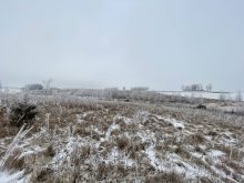
The weather models are coming into agreement with up coming storm system. The low was forecasted to develop over southern Alberta on Sunday with widespread snow developing to the north and west of the low. This placed the Edmonton region in the main snow band with 10 or so centimetres forecasted to fall across this region. The snow should move out quickly on Monday as cold arctic air pours southwards behind the low dropping temperatures to below average, but only for a couple of day.
Over Saskatchewan, the low is forecasted to bring a band of snow from southeastern region arching northwestwards through Saskatoon on Monday. It looks like this region will see upwards of 10cm of snow before the system moves off to the east. Behind the low temperatures are forecasted to plummet with daytime highs falling into the -15 to -20 C range. Luckily the cold snap does not look to last more than a couple of days.
Read Also
Prairie forecast: Arctic air dominates the forecast
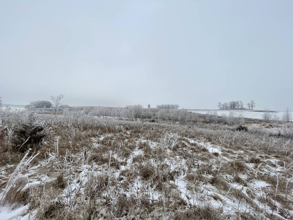
For this forecast period, it appears we will need to wait a little longer for spring to arrive. Weather models continue to show a northwesterly flow across the region, but this time the dividing line between mild and cold air has shifted slightly farther south. As a result, near to below-average temperatures are expected across much of the Prairies.
In Manitoba, thing really get tricky with very warm air to the south of low and very cold air to the north, the exact track of the low will result in huge differences in the weather. You will need to really keep track of the local weather. The weather models have been coming into agreement with the Alberta low splitting into two with the main low over the mid west U.S. becoming the dominate low.
This looked to result in a band of snow moving through southern Manitoba late on Sunday and into Monday, with a general amount of 5cm can expected. As the southern low organizes and moves northeastwards on Tuesday, expect another quick shot of snow over southern and eastern regions. Cold air will pour in behind the low bringing a short return to winter like temperatures with daytime highs falling into the -15C range with overnight lows falling to, yep, you guessed it, possibly -30C.
— Daniel Bezte is a teacher by profession with a B.A. (Hon.) in geography, specializing in climatology from the University of Winnipeg. He operates a computerized weather station near Birds Hill Park, Man. Contact him via email with your questions and comments.