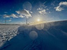
It seems that each year brings some weather story from around the globe that makes its mark — but 2025 felt like a year where every corner of the map had something to say.
From heat that pushed cities to their limits, to fire seasons that refused to end, to water arriving all at once or not at all, the planet delivered a steady stream of reminders about how quickly conditions can shift. What we are going to look at is a broad, worldwide view at some of the major weather themes of 2025.
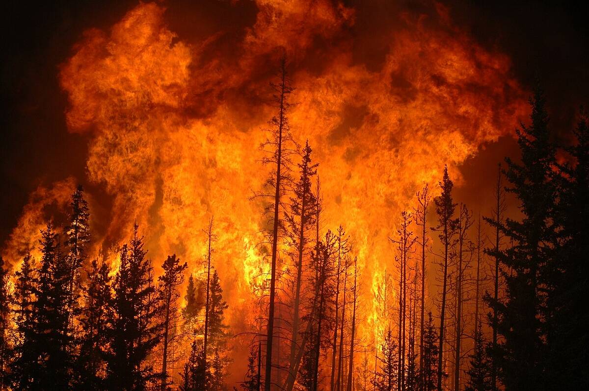
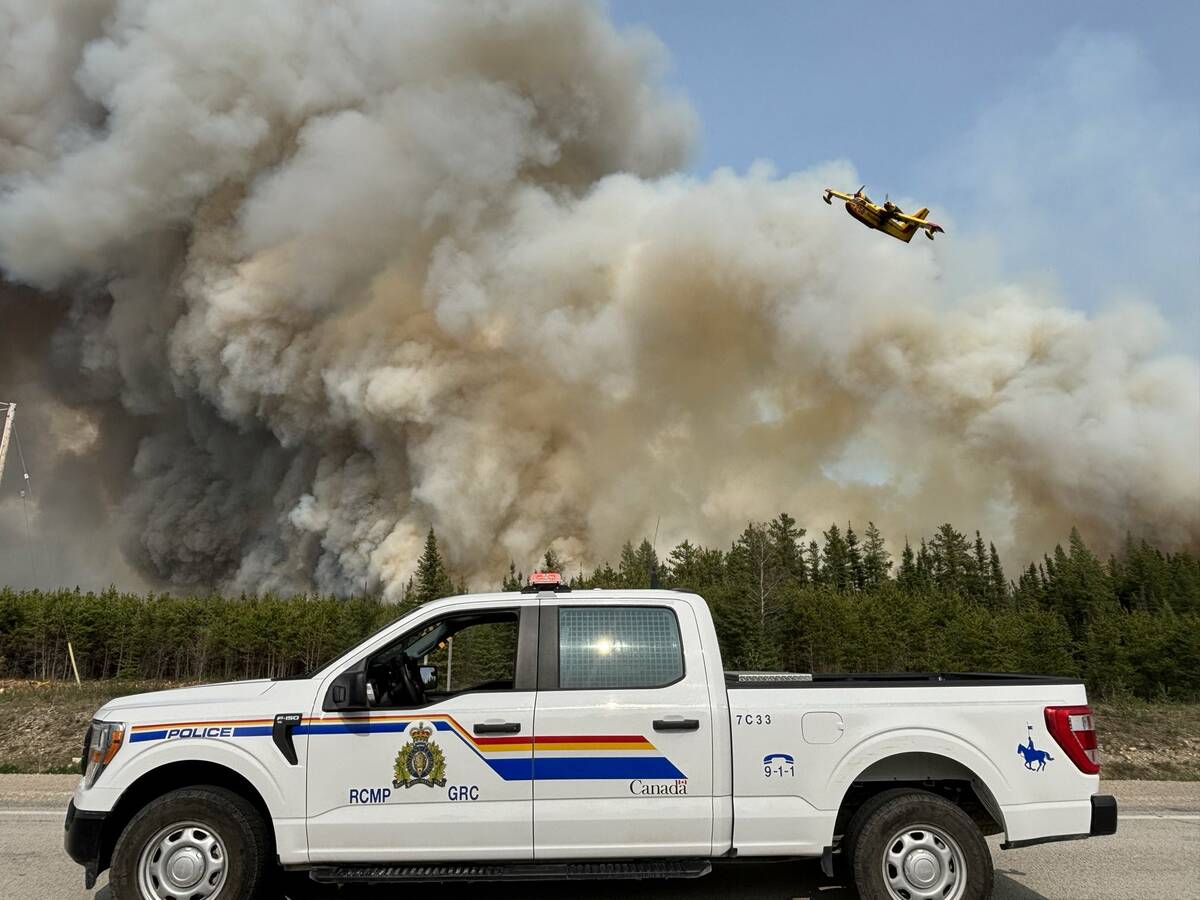
Tinderbox conditions
Read Also
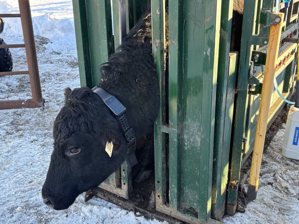
First Canadian trial of Halter virtual fencing system underway near Westlock
The New Zealand-designed system uses GPS collars and is now eligible for OFCAF funding in Canada.
Persistent heat was the headline almost everywhere. Long, unbroken stretches of high temperatures settled across Europe, the Middle East, Southeast Asia, and parts of North America. It seemed like summer arrived early, stayed late, and left little room for relief.
In several regions, temperatures climbed high enough that energy grids were stressed, and outdoor workers were pushed to their limits. What stood out wasn’t just the intensity of the heat, but how far it reached. Places accustomed to heat struggled just as much as regions that normally expect a break between hot spells. The message was simple: extreme heat is becoming a fixture, not a visitor.
Several major fire zones flared up early, and many burned long past their traditional endpoints. Canada and parts of Europe found themselves once again under thick smoke as sprawling fires worked their way through forests dried out by months of below-average rainfall.
Fire crews often battled a combination of high winds and low humidity, making suppression difficult. Smoke travelled thousands of kilometres, dimming skies far from the fires’ origin. At one point, Americans were getting mad at us for sending smoke their way.
Rain, rain, go away
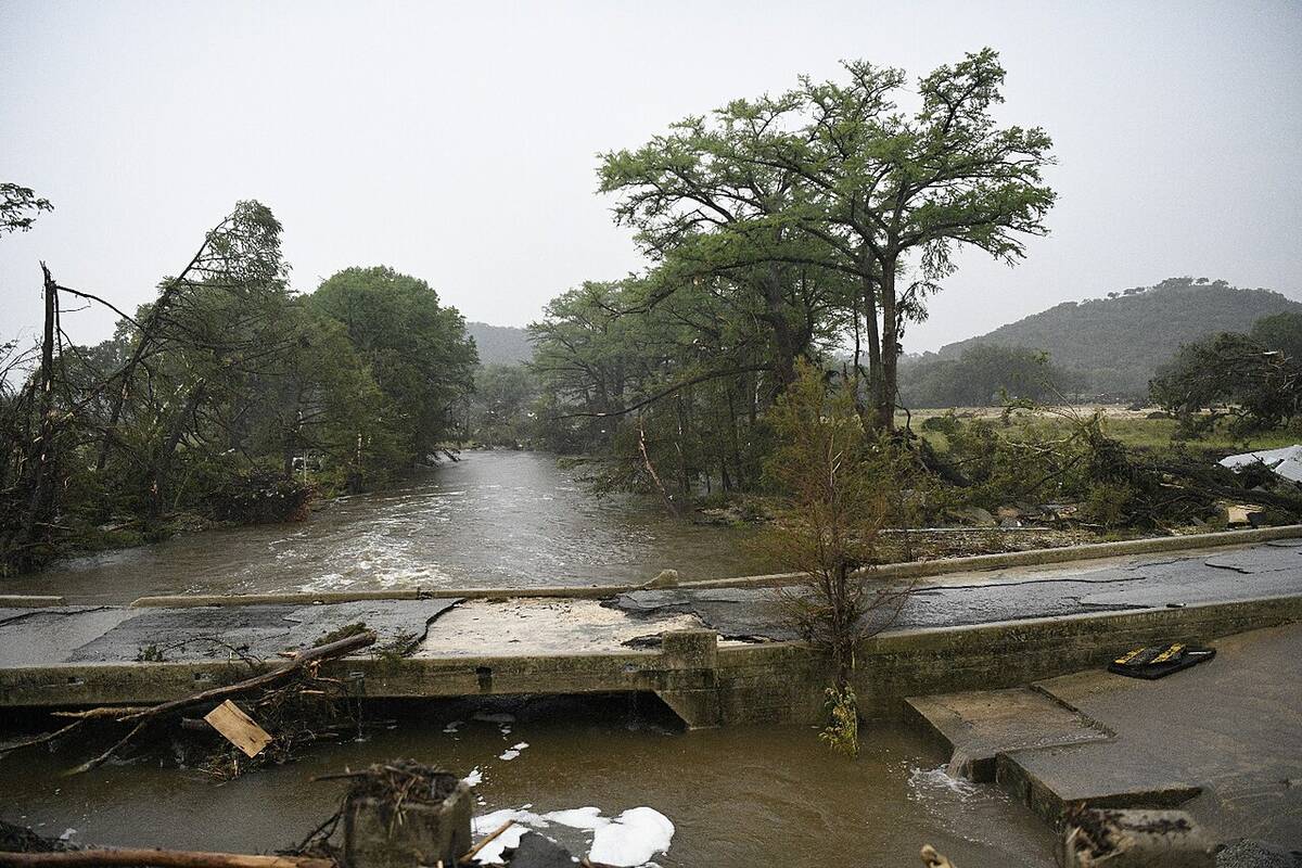
On the opposite end of the spectrum, several countries had to navigate severe flooding. Monsoon rains in parts of South Asia were stronger than usual, pushing rivers into surrounding farmland and communities. Elsewhere, short-lived but powerful storm systems triggered flash floods that swept through urban corridors and mountain valleys. Some areas spent part of the year in deep drought and later dealt with swollen waterways.
These quick swings highlighted how modern flood risk increasingly depends on short-duration extremes rather than just long seasonal trends.
Tropical cyclone activity in 2025 delivered more intensity than volume. Some basins came in near or even a touch below their usual storm counts, yet the systems that did develop really packed a punch.
In the Atlantic, the season finished with 13 named storms and five hurricanes, and an impressive four of those reached major-hurricane strength. The standout was Hurricane Melissa, a powerful Category 5 that tore across Jamaica late in the season, and was the strongest tropical cyclone anywhere in the world in 2025.
Melting away

Farther north, the Arctic continued down its long-term trajectory of ice loss. Winter’s peak ice coverage set yet another record low, and by the end of summer, the melt season had carved out one of the smallest minimums. With less ice comes warmer water, which means more open ocean for weather systems to draw energy from, this in turn results in subtle but meaningful bends in the jet stream, which eventually impacts our weather in ways we are just trying to figure out.
Northern communities felt the effects of the ice loss firsthand, with eroding shorelines, and shifting wildlife habits.
Human impact
Another issue that impacted the planet was air quality, with smoke, dust, heat and industrial pollution dragging it down. Cities on multiple continents issued repeated advisories, asking residents to limit outdoor activity when possible. Even regions far from wildfire zones experienced haze from distant burns. The growing overlap between heat waves and poor air quality emerged as one of the more troubling health storylines this year.
One of the new sciences that started to get recognized in 2025 was the rapid event-attribution groups. This is a science that analyze major heat and rainfall extremes to determine how much human-driven warming influenced them. Several high-profile studies concluded that some of the year’s worst episodes would have been far less likely in a cooler world. These findings added scientific weight to what many people already sensed: the background climate is shifting, and that shift is shaping the extremes we see.
Wild weather year
Taken together, the weather stories of 2025 paint a picture of a planet adjusting to a new rhythm, one marked by sharper extremes, quicker transitions and narrower margins. Heat waves that would have once been once-in-a-generation events are showing up every few years. Fire seasons behave less like defined “seasons” and more like extended periods of risk. Water arrives suddenly or not at all.
I once used an analogy of a blender. When you turn the blender on, the pattern remains fairly constant until you hit the next power level. Everything then jumps and becomes chaotic, eventually a new different pattern then emerges. I think we are starting to hit the next power level jump, we are seeing the chaotic weather patterns developing.
The question is, how long until a new stable pattern develops, and just what will be that pattern?
While the hope is always for a quieter year ahead, the lessons of 2025 will carry forward: awareness matters, preparation matters, and the stories we track now will help shape how we respond to whatever unfolds next.