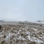
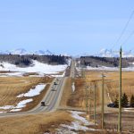
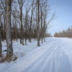
This week’s forecast: Arctic high pressure is expected to drop southward into the Prairies later this week and into the weekend, keeping temperatures below average.

Prairie forecast: Arctic air keeps spring warming at bay

Prairie forecast: Warm start then cooler air to move back in
While spring appears to be gaining a foothold across the western Prairies, it continues to struggle across the eastern regions. This forecast period looks milder than the last, but weather models are still not showing a clear or sustained shift toward a more spring-like pattern.

Prairie forecast: Arctic air dominates the forecast
For this forecast period, it appears we will need to wait a little longer for spring to arrive. Weather models continue to show a northwesterly flow across the region, but this time the dividing line between mild and cold air has shifted slightly farther south. As a result, near to below-average temperatures are expected across much of the Prairies.

Prairie forecast: A north-south temperature split as spring struggles to move in
For Alberta, a cold front on Sunday and Monday could bring light snow, with a chance of more snow in the south. Saskatchewan and Manitoba can expect a mix of sun and cloud over the weekend with daytime highs ranging from -5°C to 0°C and light winds.

Prairie forecast: All aboard the temperature rollercoaster
A series of lows, and the cold and warm air masses that come with them, will make for a temperature rollercoaster on the Prairies.

Prairie forecast: Cold weather settles in after snowy start
As the weather models were indicating as early as last week, we are now seeing a clear shift in our weather pattern from unseasonably warm and dry to more seasonable cold. This comes with a snowy start and additional chances for snow over the next week or two.

Prairie forecast: Mild pattern holds across the Prairies
Weather models show the current weak, westerly flow holding in place, which means more quiet and mild weather across the Prairies.

Prairie forecast: Above-average temperatures across Prairies
The Feb. 4 to 11 forecast looks mostly warm across Saskatchewan, Alberta and Manitoba with chances of light precipitation in Manitoba.

Prairie forecast: Extended cold snap as Arctic high pressure moves in
.
Artic high pressure will dominate Prairie weather between January 21 and 28, which means a low chance of storms or significant precipitation.

Prairie forecast: Mild start before winter pushes back in
For this forecast period, we are starting with a fairly sharp ridge of high pressure over Western Canada and a deep trough of low pressure over Ontario. This setup will keep Alberta and the western half of Saskatchewan in milder air, while Manitoba sees a quick return to more winter-like temperatures.
