AF contributor
Our little break from weather school seems to have stretched out for over a month now. Well, Reading Week (or should I say “Month?”) is over and it’s time to get back to work!
In our last lesson we continued our look at atmospheric circulation, and in particular, we built upon our general model of atmospheric circulation. Originally we said that on a simplified Earth, we would have thermally produced areas of high pressure over the poles due to the cold air. Along with these areas of high pressure at the poles, we would also have a region of low pressure around the equator due to the intense sunshine creating warm air.
Read Also
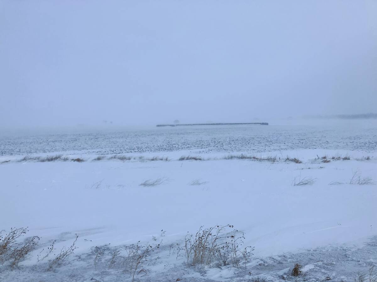
Southern Prairies brace for dry spring after below-normal winter
A dry winter across southern Alberta and Saskatchewan raises crop concerns for 2026, while northern regions benefit from above-average snow.
Then we added to this model by looking at how the air flowing out of the tropical area of low pressure would result in a dynamically produced region of high pressure known as the subtropical high. Along with this new area of high pressure we also looked at an area of low pressure that would be dynamically produced along the edge of the arctic high.
Now, if you happened to live in the region of either the polar high or the tropical low, then your weather would be fairly consistent. While there would still be some day-to-day variations in the weather, for the most part, weather would not have large swings. If you ever have had the chance to travel into the tropics you’d probably remember that the forecasts from day to day wouldn’t really change much. The same holds true for the high Arctic, except that there is a little more variation due to having six months of no sun and six months of sun. It actually has seasons.
CONSISTENT INFLUENCE
The weather in the first of our two new regions – namely, the subtropical high – is also fairly consistent. These areas of high pressure cover the regions of the world known as the great deserts. They are typically sunny and hot during the day, with clear cool nights. Not a lot of rain falls in these regions due to the fact that they are consistently under the influence of the dynamically produced area of high pressure.
The reason these areas are so dry is not just the result of them being under a dominant region of high pressure. These areas are so warm and dry for much the same reason that the chinook winds off the Rocky Mountains are warm and dry. As warm moist air over the tropical regions rises up, moisture condenses and clouds begin to form. When moisture condenses it releases back the heat that it took to evaporate it initially. This heat is then added to the rising air, further warming it. This rising air eventually reaches the top of the troposphere and begins to spread northward. This air is then forced, or pushed, toward the ground when it reaches around 25 latitude (for reason that are too complicated to look at in this article). As the air is pushed toward the ground it warms due to compression (just like an air compressor will get warm). The air can get hotter than the original air from the tropics due to the additional heat that was added when the moisture in the tropical air condensed. So now this descending air is really hot and very dry.
OK, so that explains why we have these desert regions and it also explains why most of the planet has fairly typical/predictable weather. What we haven’t looked at yet is why we here in the mid-latitudes have some unpredictable, complicated weather.
MESSY INTERACTION
Well, some of you have already started to piece it together: it has something to do with the fact that we are in the region of the dynamically produced area of low pressure. This is a region where air is typically being forced to move upward, much like the tropics, but without the intense heat. Add to this rising air a strong Coriolis force and then a messy interaction of land and water (at least in the northern hemisphere) and we get a region of stormy, chaotic weather.
The weather in this region, our area of the world, is so chaotic that we will have to leave it for at least another weather school lesson. Until then, let’s hope we see an early push of the subtropical high and a resultant early and warm start to spring!