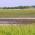
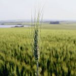
Looking back at October’s weather across the Prairies, we see it was yet another warm but dry month throughout much of the region. Let’s check the rankings of mean monthly temperatures and the difference from average for October across the Prairies.
Read Also
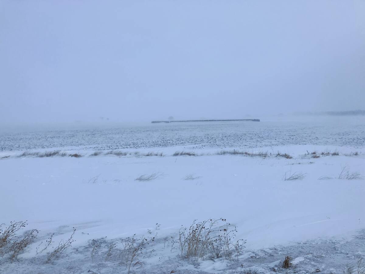
Southern Prairies brace for dry spring after below-normal winter
A dry winter across southern Alberta and Saskatchewan raises crop concerns for 2026, while northern regions benefit from above-average snow.


This data shows the warmest region and the region with the highest above-average temperatures were over the eastern Prairies, except for Calgary. Winnipeg earned top spot for both the warmest mean temperature and warmest difference from average. As we move westward, these values drop until we get into the Peace River region of Alberta, which was average for the month.
Here are the precipitation values for October.


Data clearly shows the trend across the Prairies. It was dry. None of the main reporting centres had above-average precipitation. To get a sense of the pattern across the Prairies in October, we need to look at the difference from average. Alberta saw the smallest difference from average, followed by Saskatchewan. Manitoba had the largest difference.
While overall precipitation amounts were low, the difference from average stood out in Manitoba and southern Saskatchewan, which typically see more precipitation in October than the rest of the Prairies.
Overall, it was a warmer than average October across the Prairies with below- to well-below-average precipitation. Looking at the different predictions for the month, it looks to be a three-way tie between the Old Farmer’s Almanac, the reliable CFS modeland the Canadian CanSIPS model. All three called for above-average temperatures with below-average precipitation.

Now to the latest three to four month outlooks, which will encompass most of the coming winter. Last winter was considered to be almost a non-winter and the big question is whether we will pay the price this winter.
The Old Farmer’s Almanac calls for a warmer and slightly wetter than average November and December. These conditions are forecasted to continue into January and February, but temperatures are predicted to be below-average in both months.
The Canadian Farmers Almanac calls for a turbulent November, with wild temperature swings and plenty of snow. Its December forecast is for plenty of snow and near-average temperatures. Reading through January’s forecast, it predicts a colder than average month, with near- to below-average precipitation.
February, according to the almanac, will see near-average temperatures and above-average precipitation. It predicts a large storm early in the month that will bring more than 30 centimetres of snow to much of the Prairies.
As for the computer models, NOAA’s outlook covers November to January. I have to extrapolation northward, because its forecasts magically stop at the border, but it looks like NOAA is calling for near-average temperatures and precipitation over the next three months. The exception is southern and western Alberta, which is forecasted to have a higher than average chance of above-average precipitation.
NOAA’s December to February forecast calls for colder than average temperatures across the Prairies, with the same precipitation forecasts as in November to January.
The usually reliable CFS model calls for well-above-average temperatures in November with below-average precipitation. Those temperatures are expected to continue into December, along with near to slightly below-average precipitation. By January, it shows below-average temperatures across the western and central Prairies, with southern Manitoba and Saskatchewan holding on to above-average temperatures.
Precipitation is forecast to be near-average with far western Alberta possibly seeing above-average amounts. The below-average temperatures are then forecasted to move across the Prairies in February, along with near to slightly above-average precipitation.
CanSIPS is forecasting a warmer-than-average November, with eastern regions continuing to be the warmest. Western Alberta will see near to slightly above-average temperatures. Precipitation for November is forecast to be below-average.
The model then shows a switch to near to slightly below-average temperatures in December and then well below-average temperatures in January and February. Along with the cold temperatures, precipitation is forecasted to be near average.
The ECMWF model sings a different tune. Its latest forecast calls for near-average temperatures from November through to February, with Manitoba possibly seeing slightly above-average temperatures. Its precipitation forecast calls for a good chance of above-average precipitation across the Prairies, especially in the west.
I am going to stick with what I said a month ago, which was near to slightly below-average temperatures along with near to slightly above-average precipitation.