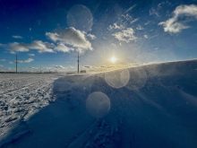
As we slowly watch our own snow and ice cover disappear this spring, let’s take a quick look at the state of Arctic and Antarctic sea ice.
According to the U.S. National Snow and Ice Data Center, this year marks the fourth consecutive minimum Antarctic sea ice extent below two million square kilometers. The last four years are the four lowest in the 47-year record, and five of the lowest Antarctic sea ice extents have occurred since 2017.
Of note, Antarctic sea ice has been historically variable, with near record highs occurring in 2013 and 2015. The question is whether the recent series of low years is the beginning of a trend.
Read Also
Why is the sky blue?
The colour of the skies, on the Prairies and elsewhere, tells the story of the paths sunlight takes as it enters Earth’s atmosphere, Daniel Bezte writes.
In the Arctic, the average February 2025 Arctic sea ice extent was 13.75 million square kilometers, which was the lowest February extent in the 47-year satellite record. It was also 220,000 square kilometers below the previous record low for February, set in 2018.
Since 1979, February has lost about 1.92 million square kilometers of sea ice. Needless to say, global ocean sea ice is now at a record low, coming in about two million square kilometers below the average, and nearly four million square kilometers below the record high year. To put that into perspective, the area of all three Prairie provinces is right around two million square kilometers.
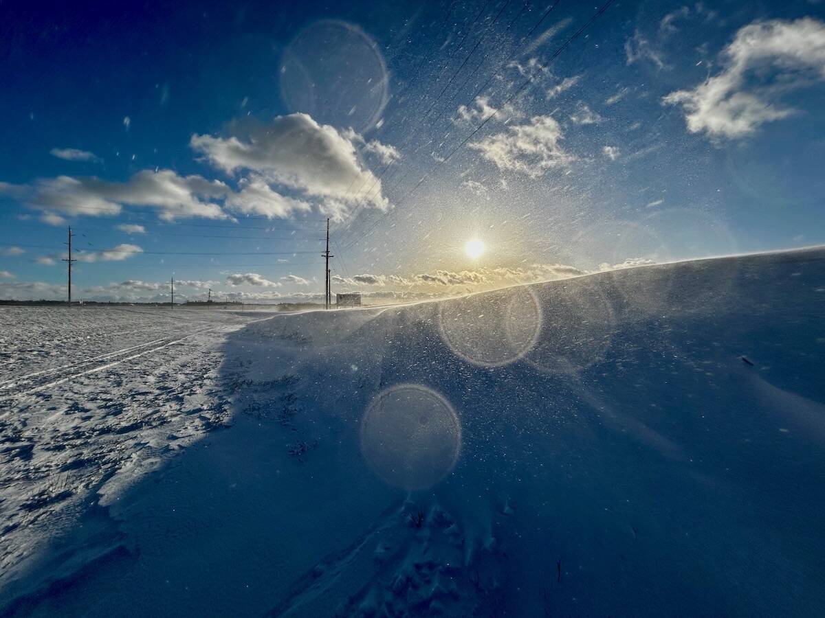
One more small topic I want to cover before we move on to look at the long-range forecasts. I received an email asking about spring temperatures and snow cover. As most of us already know, if there is snow on the ground then it can be difficult to experience really warm temperatures. This is a result of two different factors – the natural cooling effect of snow cover and the bright snow reflecting sunlight back into space (also known as albedo).
A good portion of the Sun’s energy that reaches Earth is simply reflected away, never getting the chance to do any work. On average, over a whole year, the Earth reflects about 31 per cent of the Sun’s energy back into space. This reflection is known as earthshine. If we compare it to the Moon, which reflects about six to eight per cent of the Sun’s energy, and take into account that Earth is four times wider than the Moon, you can quickly see and understand that Earth would appear very bright from space. In fact, astronauts often report just how startlingly bright Earth appears.

So, Earth actually reflects a fair bit of the Sun’s energy. As mentioned above this reflection of the Sun’s energy is determined largely by the brightness of Earth’s surface or albedo. Albedo is the percentage of the Sun’s insolation that is reflected back into space. An object that absorbs all incoming solar radiation hitting it would have an albedo of zero, while an object that reflects all of the radiation hitting it would have an albedo of 100 per cent.
The colour of an object has the biggest effect on albedo, the darker the object the lower the albedo. Along with colour, the texture of the surface also affects albedo, with smooth flat surfaces having a higher albedo. Finally, when it comes to water, the angle of the Sun’s rays produces different amounts of albedo. Low Sun angles produce more albedo compared to high Sun angles – just think of the last time you watched the Sun set over a lake.
Fresh clean snow and ice can have albedo values as high as 90 per cent, while older dirty snow will have values more typically in the 40 to 60 per cent range. A dark soil field has an albedo in the 10 to 20 per cent range. These variations can greatly impact temperatures in the spring across our region.
For example, after a fresh dump of spring snow we will often see a couple of days of cold temperatures. Part of this is due to cold air moving in behind the storm system that brought the snow, and part is the fact that the bright fresh snow is reflecting back most of the Sun’s energy. As the snow melts and darkens the albedo drops and more energy is absorbed, this leads to more melting and a further darkening of the surface as the snowpack compacts and soil gets exposed. This positive feedback loop helps to explain why, when the conditions are right, the snowpack will often melt or “disappear” in only four to five days.
Now let’s look at the long-range forecasts. Starting with the Canadian Farmers Almanac, they appear to be calling for average temperatures in both April and May with near to above-average precipitation – they mention “fair” a lot. June’s forecast appears to be calling for near to above-average temperatures with near-average precipitation. Over the Old Farmers Almanac, they are calling for above-average temperatures from April to June with near to slightly above-average precipitation.
Looking at the computer models, we’ll extrapolate the U.S. NOAA’s forecast northwards. it appears as if they are calling for near-average temperatures and precipitation. The CFS forcast is calling for near to slightly above-average temperatures in April and above-average in May and June. Their precipitation forecast is calling for near to above-average amounts in April, near to above-average amounts over Alberta and Saskatchewan in May, but below-average amounts in Manitoba. June’s forecast is for near to below-average amounts across the southern Prairies with near to above-average amounts further north. The CanSIPS model is calling above-average temperatures for all three months with the exception of Manitoba seeing below-average temperatures in April. Their precipitation forecast is for below-average amounts right through this period. Our last weather model, the ECMWF, is calling for above-average temperatures and near to below-average precipitation for all three months.
Lastly, my take on all of this. I’m going with the majority indicating above-average temperatures from April to June along with near to below-average precipitation.
As usual, I hope whatever weather we do see is exactly the type of weather you want.