From a climatological point of view, winter is now over. The 12-month year is broken into four equally long seasons, with winter covering December, January, and February.
From a southern and central Alberta view, there is still one month to go. For most of the Canadian Prairies, winter starts in November and usually ends in March. In some years, spring will arrive in March and in others it is more like April.
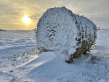
Looking back at the winter so far, I think that maybe the best way to describe the winter of 2016-17 is unique.
Read Also
Prairie weather all starts with the sun
The sun’s radiation comes to us in many forms, some of which are harmful to organic life while others are completely harmless or even essential, Daniel Bezte writes.
The best place to start a review of winter is to go back to November. Thinking back on it now, November kind of set the tone for the winter — at least in part.
November 2016 wasn’t really November. With temperatures that ran as much as 12 C above average during the month, it felt more like October. Most locations across the central and eastern Prairies shattered their records for the warmest November on record.
Across Alberta it was warm, but not record-shattering warm, with average November temperatures around 5 C above average. Precipitation during the month was below average, with a mixed bag of both rain and snow falling. The Calgary region was the dry spot, with only a couple of millimetres of precipitation falling during the month. The Edmonton region was the wettest, with around 15 millimetres of precipitation recorded.
December began warm, and it was beginning to look like winter might not show up at all. Then the second week rolled around and the cold air moved in. Usually the arrival of cold air is accompanied by snow, but the white stuff pretty much stayed away, with only a couple of centimetres falling during the first three weeks of the month.
The cold weather lasted until about a week before Christmas. Temperatures then soared back up into the pluses, giving us near-perfect weather leading into the holidays. Then, just in time for Christmas, most areas saw their first good snows of the season, with central and southern regions reporting a general 10 to 15 centimetres of snow.
January started off fairly cold, especially in the north, where several nights saw lows drop into the -30 to -35 C range. Combine this cold with some shots of measurable snow and talk turned towards the region finally paying for all of the warm weather seen earlier in the winter.
Then, at pretty much the halfway point of the month, temperatures did a 180-degree turn and the second major warm spell of the winter moved in (the first one was the extraordinary warmth experienced in November and early December). Daytime highs climbed above zero and stayed there for most of the rest of January. This resulted in a fairly significant reduction in the snowpack, with southern regions seeing most of their snow disappear.
February ended up being a repeat of January. The first half of the month was cold, with overnight lows flirting with the -30 C mark on a few days. Snowfall was light across central and northern regions, but a storm system brought significant amounts of snow across the south restoring the snowpack.
Then the third warm spell of the winter moved in during the second half of the month. Once again, temperatures climbed well above freezing and the second significant thaw of the winter began. This warm spell resulted once again in a large reduction in the snowpack, with a large part of the province losing nearly all of its snow cover.
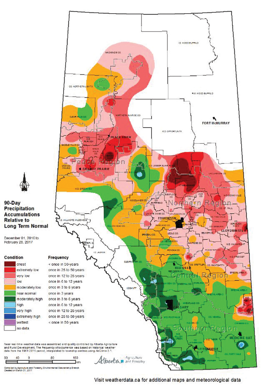
Overall this winter, the warm weather has easily beaten out the cold weather — at least over central and northern regions. The mean temperature for winter (December to February) has been around 2 C above average. If we include November, then winter temperatures were around 3.5 C above average. Over southern regions, temperatures over the winter ended up coming in right around average. Precipitation over the winter saw a reversal of the temperature pattern, with central and northern regions seeing below-average amounts and southern regions reporting above-average amounts.
Looking ahead to the rest of March and April, Environment Canada is calling for a colder-than-average March followed by near-average temperatures in April. Its precipitation forecast is calling for near-average amounts.
The Old Farmer’s Almanac is calling for near-average temperatures and precipitation in March with near-average precipitation in April, but slightly below-average temperatures. The Canadian Farmers’ Almanac appears to be calling for an absolutely dreadful start to spring. Over the next two months, it mentions wet, stormy, showery, chilly, cold weather more times than I can count.
Last but not least, my forecast.
I think we’ll continue to see the same pattern we have had all winter, with this current cold snap being followed by very warm temperatures. It does look like this current cold period is going to last a little longer than what we have seen so far this winter. This means that March will likely be colder than average.
Precipitation is always tough to predict, so I am going to wimp out and call for near-average amounts. All bets are off for April, so spinning my magic weather wheel tells me it will be cooler and wetter than average — stupid weather wheel!