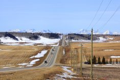
I absolutely love/hate how variable the weather can be in the spring. I know I have been complaining about it over the last couple of weeks, but spring really is a tough period to forecast, especially when I have to try covering a seven-day period.
With that said, here is my best interpretation of what the weather models are showing.
We start this forecast period with a strong area of low pressure pushing in off the southern coast of B.C. This low will bring very mild temperatures to southern Alberta on Wednesday and into Thursday. It will then help to develop an area of low pressure over south-central regions early Thursday morning.
Read Also
OPINION: Canada’s shifting snowpack reveals water-loss location matters for agriculture
From the Prairies to the Great Lakes, uneven snowmelt patterns signal new era of water supply risk.
This low is forecasted to bring widespread snow to central Alberta on Thursday, then south-central Saskatchewan Thursday afternoon and overnight. Finally, snow is expected over southern and central Manitoba late Thursday and into Friday. Overall snowfall amounts are expected to be in the 5 to 15 cm range. A few regions may see upward of 20 cm.
Once this system pushes by, cool Arctic high pressure is forecasted to dominate the Prairies for the rest of this forecast period. We should expect sunny to partly cloudy skies and daytime highs within a few degrees of freezing.
Alberta
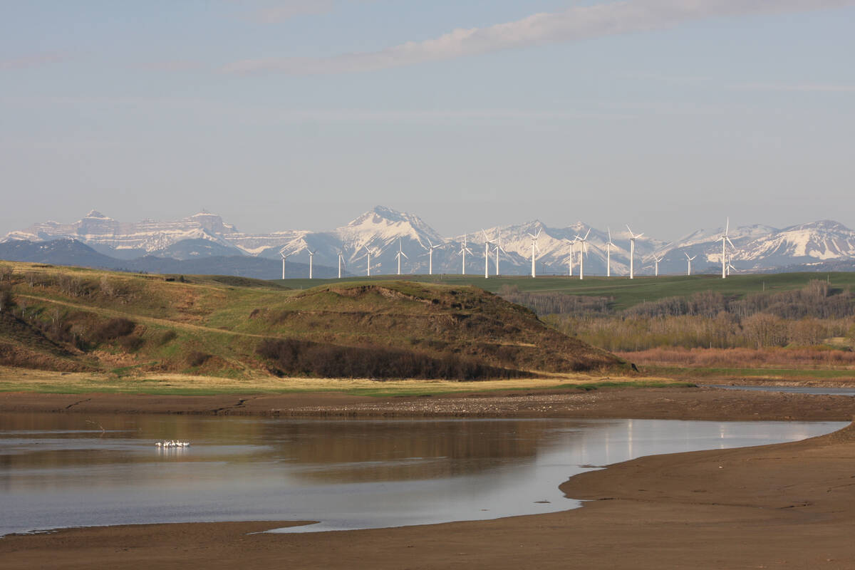
As mentioned above, a strong area of low pressure off the southern B.C. coast is forecasted to push a warm front across southern and central Alberta on Wednesday. This will help keep daytime highs around the 10 C mark despite the clouds. As the low digs along the coast, energy will push inland. This will help to spin up a low over south-central Alberta by Wednesday afternoon. Snow will begin to develop late in the day with some regions possibly seeing warning levels on Thursday. The low should move out by Friday morning.
For the remainder of the forecast period, the weather models are showing weak arctic high pressure building southwards across the prairies. This will bring sunny to partly cloudy skies along with cooler than average temperatures. Expect daytime highs across the southern regions to be in the 0 to +5 C range with central and northern regions in the -2 to + 3 C range. There are indications of some significant warm weather later next week.
Saskatchewan and Manitoba
Both regions should see sunny to partly cloudy skies on Wednesday as a couple of weak systems track by to the south and to the north. Temperatures look to be in the 5 to 10 C range, with warmest temperatures over the regions with little snow cover and/or plenty of sunshine.
Skies look to cloud over late on Wednesday in Saskatchewan as an area of low pressure develops over central Alberta and pushes eastwards. There’s not a lot of consensuses amongst the weather models for the extract track of the system, but it looks like the low will bring a swath of between 10 to 15 cm of snow across central Saskatchewan on Thursday with light snow lingering into Friday.
There is the possibility of some regions seeing 20+ cm of snow as there is the potential of banding to occur. Across Manitoba, most of the snow looks to fall across the southern Interlake region with widespread amounts of 10 to 15 cm expected. Southern regions are not expected to see much in the way of snow, but 5 to 10 cm can’t be ruled out should the system track further south than expected.
Once this low passes by, an area of Arctic high pressure is forecasted to drop southwards into northwestern Ontario. This will place Saskatchewan and Manitoba into a fairly strong northwesterly flow, which will keep temperatures on the cool side. Expect daytime high early next week struggling to make it to the freezing mark with overnight lows falling to around -10 C.