Forecast issued Oct. 8, covering Oct. 8 to 15, 2025.
Highlights:
- The Prairies may be in for a prolonged battle between warm and cold air before winter sets in. This could bring lots of rain or snow.
- Alberta should see warm temperatures late in the week before cold air surges in and brings the chance of snow in the south and east.
- Western and north-central Saskatchewan could see wet, heavy snow on Sunday.
- Manitoba should see a warm but wet weekend with potential showers or thundershowers before a chance of snow next week.
Read Also
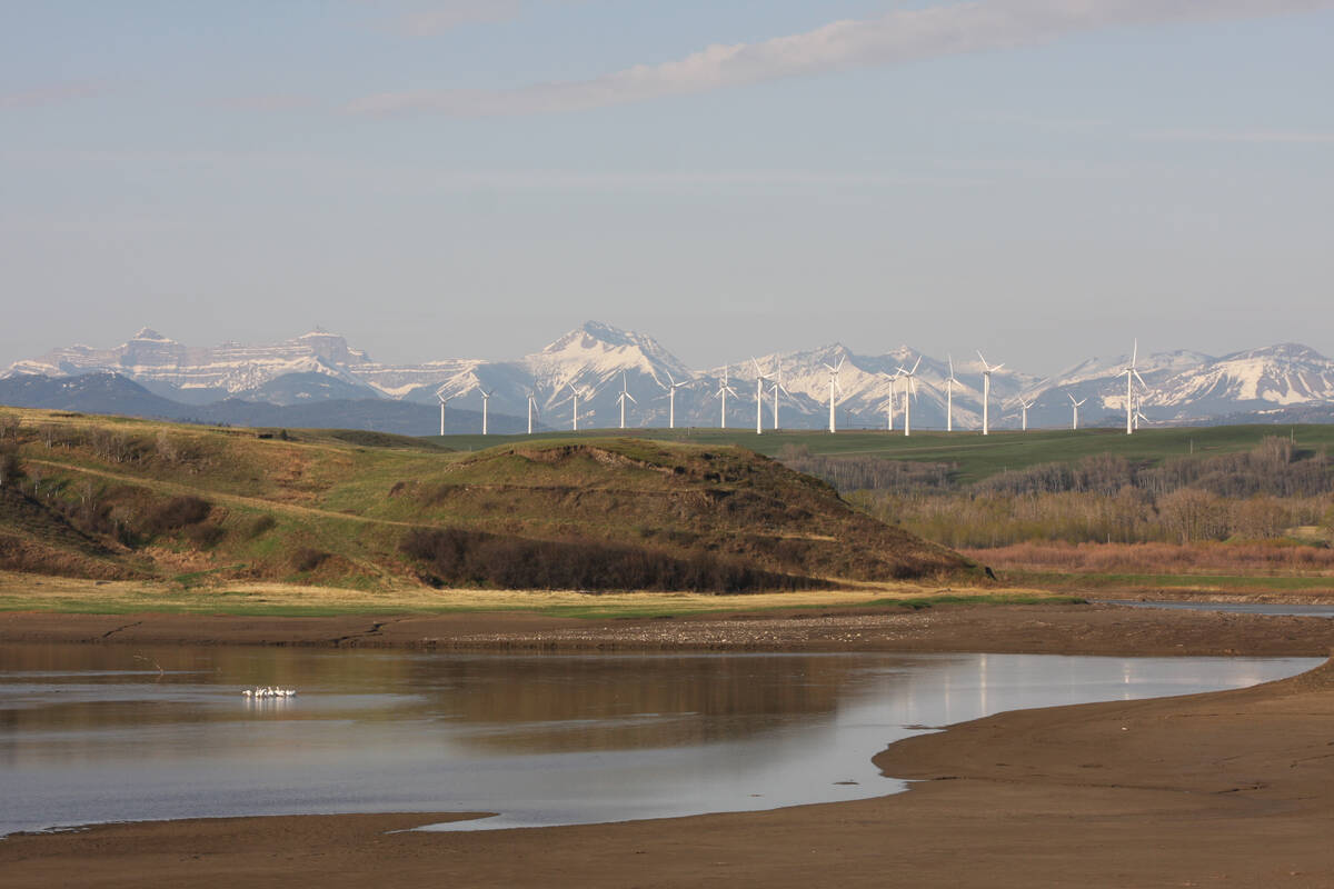
OPINION: Canada’s shifting snowpack reveals water-loss location matters for agriculture
Prairie agriculture depends heavily on mountain snowpack for irrigation. Using our snow water availability metric, we conduct a large-scale analysis across Canada and Alaska and have found pronounced differences in how snow water is changing.
Summary of conditions
The dance between summer and winter has definitely begun across the Prairies. Looking at the medium range model runs, it looks like we’re in for a bit of rollercoaster ride with the eastern half of the Prairies possibly seeing the biggest impacts of that ride.
Winter can come in three different ways. First, there is a prolonged back and forth battle between warm and cold conditions. Second, warm conditions win out for a short while and then winter rushes in early and sticks around. Thirdly, warm weather keeps winning out and we start to worry about a white Christmas. Well, while we’re only in mid-October, it is looking like we might be in for a prolonged battle between warm and cold air over the next little while. This could lead to either lots of rain or snow.
Late last week and into this week, a cold air mass invaded the Prairies. The weather models show that mass moving off to the east. Meanwhile, the main storm track off the Pacific northwest is pushing a series of lows eastwards across the territories and Nunavut. This will allow for some upper-level ridging to build across the Prairies during the second half of this week.
More from Daniel Bezte: Mythbusting the folklore of winter forecasts.
Unfortunately, not all is sunshine and roses. These northern lows will help to open the door for cold air to flood southwards over the weekend and first half of next week. Simultaneously, a deep trough of low pressure will push in off the Pacific coast.
This trough is forecasted to spawn a strong area of low pressure over the western U.S. This is expected to lift northeastwards into Saskatchewan. Should this system develop as currently expected, it will bring the first significant snowfalls to parts of southern Saskatchewan and possibly parts of eastern Alberta.
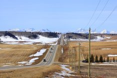
Alberta
This forecast period starts with an upper ridge across the province that is slowly breaking down thanks to an area of low pressure cutting across the northern half of the province. This will bring a mix of sun and clouds to northern regions with the chance of the odd shower. Temperatures will cool down from the low twenties into the mid teens, which is near average for this time of the year.
Surface high pressure is forecasted to build in behind this low, which will help to rebuild the upper ridge. This should bring a return to sunny skies and warm temperatures from Thursday to Saturday. Over the weekend the weather models are showing a trough of low pressure developing off the West Coast.
This trough will push eastwards triggering the development of an area of low pressure over Montana by Sunday. This low is then forecasted to lift north and northeastwards into Saskatchewan on Monday. Confidence in the low’s track is low at this point, but with cold air surging southwards behind the low and moisture lifting northwards, southern and eastern regions could see the first accumulating snowfall late on Sunday and into Monday morning.
Below average temperatures look to move in for at least the first half of next week before milder air is forecasted to build back in.
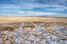
Saskatchewan and Manitoba
These regions start this forecast period with an upper-level ridge building in thanks to an area of low pressure cutting across northern Canada. This will bring a return of sunny or partly cloudy skies and above-average temperatures. Daytime highs will push into the upper teens to low twenties.
Over the weekend, a trough of low pressure from southern B.C. will help spawn an area of low pressure over Montana. This low is then forecasted to lift northeastwards into Saskatchewan on Sunday. The moisture lifting northwards ahead of the low, combined with cold air pushing southwards behind the northern Canadian low, will likely result in widespread heavy wet snow across much of western and north-central regions.
Further east, across southeastern Saskatchewan and most of southern and central Manitoba, showers and even the odd thundershower will push trough late on Sunday as the western low pushes a warm front through. This warm front will keep temperature on the mild side across Manitoba. Daytime highs are expected to be in the upper teens despite the lack of sunshine.
The main low over Saskatchewan is expected to move out the by late on Monday. This will bring much cooler air to the eastern half of the Prairies on Monday. Daytime highs are only forecasted to be in the 8 to 10 C range.
If we want to trust the weather models this far out, they are showing another area of low pressure lifting northeastwards out of the central U.S. by Wednesday. This system, should it develop, would bring measurable snow to the far eastern Prairies. As usual, that’s a long way off and plenty can change between now and then.