Forecast issued Oct. 22; covering Oct. 22 – 29
Key points:
* Lingering fall warmth in tug-of-war with first push of Arctic air
* Strengthening ridge to bring mild weather to Alberta and western Saskatchewan
* Winds and rains likely for parts of Manitoba later in the week
Prairie overview
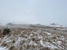
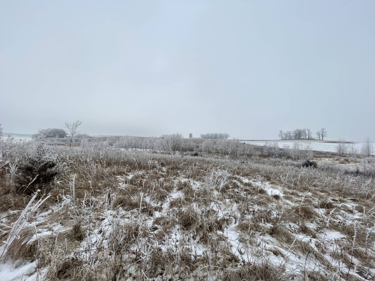
Last week’s forecast played out quite close to expectations and the models had a good handle on the overall pattern. However, as often happens this time of year, the details began to shift toward the latter half of the period. The Alberta low that was projected to develop and dive southeastward into the U.S. did indeed form, but instead of taking that southern path, it tracked farther north across central Saskatchewan before moving into southern Manitoba. Once it reached Manitoba, the system slowed and strengthened, producing yet another round of significant rainfall for that area. Fortunately, cold air has remained largely absent around these systems which means snowfall has been minimal or nonexistent.
Read Also
Prairie forecast: Arctic air dominates the forecast
For this forecast period, it appears we will need to wait a little longer for spring to arrive. Weather models continue to show a northwesterly flow across the region, but this time the dividing line between mild and cold air has shifted slightly farther south. As a result, near to below-average temperatures are expected across much of the Prairies.
As we head into the new forecast period, there is a broad area of low pressure slowly drifting east over northwestern Ontario. To the west, a large and persistent low sits over the Gulf of Alaska, while in between, a small but strengthening upper ridge is building across the western Prairies. This ridge will bring a return of milder weather, particularly across Alberta and western Saskatchewan, where daytime highs are expected to rise well above seasonal norms for mid-October.
By the weekend, the Gulf of Alaska low is expected to begin pushing inland. As it does so, it will weaken and split into several smaller systems, which will move across Western Canada in pieces. This will gradually push the ridge of high pressure eastward, allowing mild Pacific air to spread into central and eastern parts of the Prairies. There’s still some uncertainty about exactly how these lows will behave, but the models are suggesting one system will track into northern Canada, another into central Alberta and a third will spin up over the western U.S.
Weather models have been consistent with the low forming over the U.S. becoming the dominant system later in the weekend. If this pans out, it would likely lift northeastward into southern Manitoba sometime between Monday and Tuesday morning, bringing yet another round of rain to parts of that region.
Alberta
Across Alberta, most regions can look forward to sunny skies and mild temperatures early in the forecast period. The ridge of high pressure building in from the west will provide several days of calm, stable weather — a good stretch for any remaining harvest operations or fieldwork. Daytime highs are expected to reach between 10 and 15 C, with overnight lows near 5 C. By the weekend, however, the Gulf of Alaska low will move inland and start to break down the ridge, allowing a new area of low pressure to develop over central Alberta. This will introduce some cooler air, with daytime highs slipping back into the 5 to 10 C range. Clouds will increase across central and northern regions, along with the chance of a few scattered showers. Early next week, if the developing low over the eastern Prairies strengthens as expected, it could help draw in a shot of colder Arctic air from the north. Highs could then drop to around 2 to 5 C under partly cloudy skies, with a few light flurries possible over higher terrain and northern districts.
Saskatchewan and Manitoba
Farther east, across Saskatchewan and Manitoba, the week begins under a building ridge of high pressure that is spreading in from the west. This setup will bring several days of generally fair weather with partly cloudy to mostly sunny skies and a return to mild temperatures. Daytime highs should climb into the low to mid-teens, with the warmest readings expected across Saskatchewan and slightly cooler conditions in eastern Manitoba. The mild spell is forecast to hold through the weekend as a weak low lifts northeast out of Alberta. Temperatures will stay comfortable, generally in the low to mid-teens, although breezy conditions may make it feel a touch cooler. Winds will be light to moderate across Saskatchewan but will strengthen over Manitoba, where moderate to strong southerly winds are expected, especially on Saturday and Sunday.
Looking into early next week, the last piece of Pacific energy is expected to swing across the western U.S. and help spin up a more organized low over the central states. If current model trends continue, this system will lift northeastward into southern Manitoba early in the week, bringing another widespread round of rainfall to much of the eastern Prairies. Confidence is in the placement of this low is low, but overall the models keep showing the chance for significant precipitation with the potential for some areas to see between 10 and 20 millimetres of additional rain. Fortunately, temperatures look warm enough that precipitation should remain in liquid form, and there are still no strong indications of a significant snow-producing storm on the horizon.
While colder air will likely begin to filter in behind this system, the transition appears gradual, and much of the region should remain above freezing during the day through the middle of next week. All in all, the Prairie weather pattern continues to show a tug-of-war between lingering fall warmth and the first real pushes of Arctic air. So far, the warm air seems to be winning but we will have to wait and see if that continues into November.