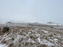
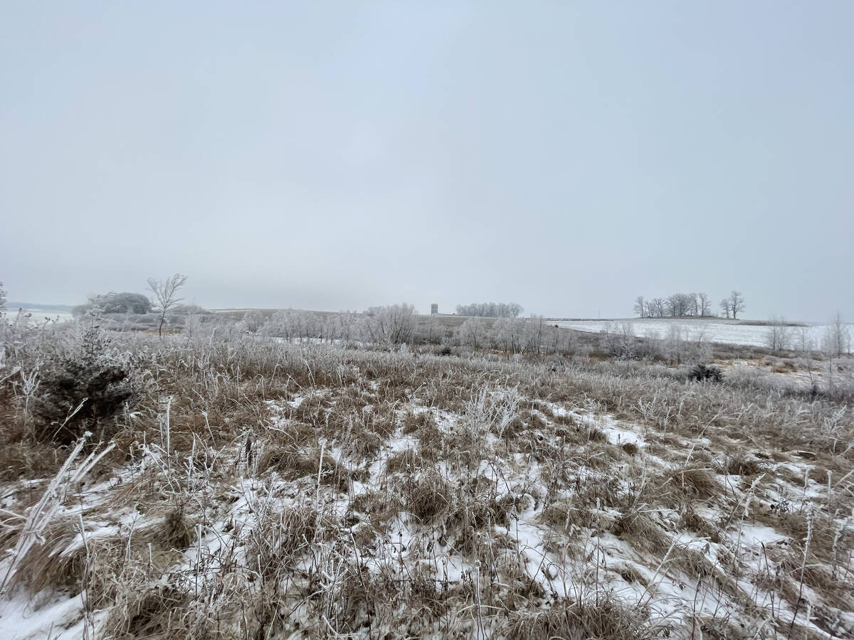
As we work our way towards winter, we’ll eventually have to start talking about snow… but it looks like that type of weather is at least another week away. Instead, the models show unseasonably warm weather continuing across much of the Prairies over this forecast period.
We start off exactly as the weather models predicted. A fairly large ridge of high pressure is stretching from Alberta into Manitoba. This ridge will bring sunny to partly cloudy skies and daytime highs in the upper teens to low twenties.
Read Also
Prairie forecast: Arctic air dominates the forecast
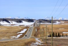
For this forecast period, it appears we will need to wait a little longer for spring to arrive. Weather models continue to show a northwesterly flow across the region, but this time the dividing line between mild and cold air has shifted slightly farther south. As a result, near to below-average temperatures are expected across much of the Prairies.
One of the main weather features for this forecast period look to be an area of low pressure that should develop over southern Alberta on Wednesday and Thursday before lifting northeastward to lie near the northern coast of Hudson Bay by Saturday. While this is an unusual track for an Alberta low at this time of the year, it’ll help keep the areas to the south and east in nice warm, late fall temperatures. It will also keep any precipitation from this low confided to far western and northern Alberta.
There’s no strong sustained push of cold air behind this low. The weather models only show a day or two of cool air on Friday and Saturday as a cold front sweep across the Prairies from west to east. The weather models show a small rebound in temperatures late into the weekend and early next week as an area of low pressure comes ashore in northern B.C. This could trigger lows to track just north of the Prairies, which will help to keep a weak southerly flow across all three Prairie provinces.
By the middle of next week, the weather models are showing a large push of cooler air dropping southwards into the Prairies as the final low tracks by. This push of cooler air will likely return our region back to near or below average temperatures. Looking slight further ahead than usual, there are some hints of the first widespread snowfall late next week as an area of low pressure develops and impacts the southern Prairies. As usual, a whole lot can change between now and then. Stay tuned for next weeks forecast!
Alberta
Southern regions will see one more warm day as an area of low pressure develops over south-central regions. Daytime highs should be in the 15 to 20 C range with fairly strong west to southwest winds. Central and northern regions will see mostly cloudy skies with the chance of showers as the area of low pressure develops and then lifts northeastwards. With the clouds and showers, expect daytime highs to be in the 6 to 8 C range. Skies across the north should slowly clear from south to north on Thursday as the low moves into northern Saskatchewan. Cooler air behind the low will push it into southern Alberta and will drop daytime highs across the province into the 5 to 8 C range.
It looks like there will be a brief warm up across the regions on Friday and Saturday as an area of low-pressure tracks by to the north. A cold front is forecasted to quickly drop southwards behind this low on Sunday bringing a mix of sun and clouds and the chance of showers or flurries. Expect daytime highs to only be in the 1 to 5 C range with overnight lows falling into the -3 to -7 C range. Expect the coldest temperatures to be over central and northern regions.
Arctic high pressure is then forecasted to slowly drift southwards from Monday to Wednesday. This should result in sunny to partly cloudy skies along with cooler than average temperatures. Daytime highs are forecasted to be in the 0 to 4 C range with overnight lows falling into the -4 to -8 C range.
Saskatchewan and Manitoba
This region will start this forecast period under a ridge of high pressure as a strong surface high over the east-central U.S. and a developing area of low pressure over Alberta combine to pull warm air northwards. Expect mostly sunny skies on Wednesday and Thursday with daytime highs in the mid to upper teens. A few locations could push into the low twenties.
Along with warm temperature, expect strong south winds. By late Thursday or early Friday, the Alberta low will be tracking across northern Saskatchewan and Manitoba, dragging a cold front behind it. Saskatchewan will see the cool down first with daytime highs over central regions likely staying around 10 C during the day on Thursday. Cooler temperatures will move into southern regions by early Friday. Manitoba will see the cooler temperatures slide in on Friday from west to east. Daytime highs will range from around 12 C over western regions to about 15 C in the east.
This slight cool down won’t last as a couple of lows track by to the north over the weekend. The circulation ahead of these lows will pull milder air back into the region. Daytime highs are once again forecasted to be in the mid to upper teens.
The weather models are showing an area of low pressure developing over southern Manitoba on Monday, ahead of the push of colder air from the north. This system is forecasted to bring showers to parts of eastern Saskatchewan and most of southern and central Manitoba on Monday. As the low departs eastward on Tuesday, expect much cooler air to work in with daytime highs forecasted to be in the 1 to 4 C range and overnight lows falling into the -4 to -8 C depending on overnight cloud cover.
— Daniel Bezte is a teacher by profession with a B.A. (Hon.) in geography, specializing in climatology from the University of Winnipeg. He operates a computerized weather station near Birds Hill Park, Man. Contact him via email with your questions and comments.