Well, the weather models once again did a good job on the 2-to-5-day forecast but struggled with the 5-to-8-day time frame. We saw a couple of short-lived ridges of high pressure build across the Prairies. Those brought nice mild temperatures. We also saw brief cool-downs between these ridges.
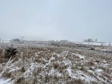
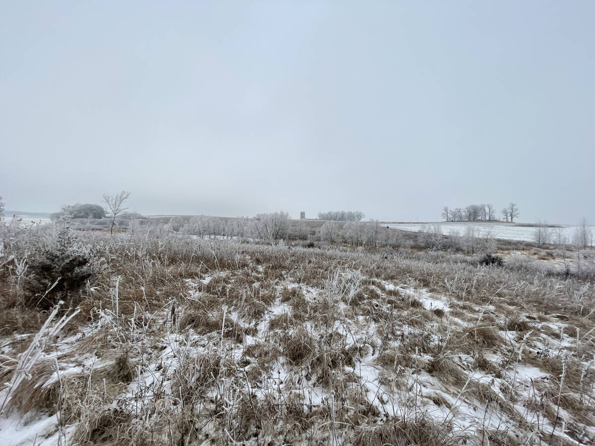
What we didn’t see develop as forecasted was the strong area of low pressure over Montana predicted to bring widespread snow to parts of the Prairies. Instead, the low develop much further north over south-central Alberta. It lifted quickly to the northeast and brought a light dusting of snow to parts of central and northern Alberta.
Read Also
Prairie forecast: Arctic air dominates the forecast
For this forecast period, it appears we will need to wait a little longer for spring to arrive. Weather models continue to show a northwesterly flow across the region, but this time the dividing line between mild and cold air has shifted slightly farther south. As a result, near to below-average temperatures are expected across much of the Prairies.
For this forecast period, as we work into what’s often the first month of winter across the Prairies, it looks like the current warmer and drier-than-average pattern of the last two months will continue. Now, to be fair, we need to realize that we are transitioning into winter. Average temperatures are cooling, so though the forecasting is calling for above-average temperatures, those temperatures are getting cooler and cooler.
We start this forecast period with some weak ridging over Alberta and a large area of low pressure over western Hudson Bay. These Hudson Bay lows often mean a strong push of cold air across the Prairies, but with the weak Alberta ridging, combined with the quick eastward progression of the low, we will probably see a mostly westerly flow from Wednesday to Friday. This should mean sunny to partly cloudy skies and seasonable temperatures for most regions from Halloween right into the weekend.
Now here’s where the fun starts. On Sunday one of the weather models is forecasting an area of low pressure developing over the west-central U.S. This is predicted to lift northeastwards and bring precipitation to southern Manitoba, southern and eastern Saskatchewan late on Sunday and into Monday.
As with the last couple of forecasts, confidence in this system is low. The second main model is keeping the low well to the south of our region with only some light precipitation hitting this region, but it bears watching. It looks like the system will be warm enough that most of the precipitation will fall as rain. The best chances of snow is over the western edge of the system in Saskatchewan.
If we want to really push our luck, the weather models have been pretty consistent with bringing a good shot of warm air into the Prairies late next week and over the Reembrace Day weekend. More on that in the next forecast.
Alberta
It’s a quiet forecast period for Alberta this time around. Weak high pressure dominates most of this forecast period. Expect sunny to partly cloudy skies with daytime highs on Wednesday and Thursday in the 7 to 10 C range over southern regions, and 3 to 6 C over more northern sections. Overnight lows should fall into the -4 to -8 C range. Late in the week and into the weekend, a weak upper ridge is forecasted to collapse and cause a couple-degree drop in temperatures.
The quiet weather looks to continue into next week with southeastern regions possibly seeing some clouds and flurries early on. That will depend on the development and track of the west-central U.S. low. There is also a chance of some clouds and flurries on Wednesday as the weather models show a weak disturbance quickly tracking through from the west. Temperatures continue to look to be around average for this time of the year.
Saskatchewan and Manitoba
Much like Alberta, the first half of this forecast period looks nice and quiet on the weather front. Weak high pressure will bring sunny to partly cloudy skies along with daytime highs in the 4 to 8 C range with overnight lows falling into the -3 to -7 C range. These temperatures are on the higher end of the usual temperature range for this time of the year. Where things start to get interesting is on Sunday. An area of low pressure is forecasted to develop over Colorado and begin to lift northeast.
The weather models starting to bring in precipitation from this low late on Sunday. The main area of precipitation will push through on Monday before lifting off to the northeast early Tuesday. With no icy air in place and with a good pull of warm air ahead of the low, most of the precipitation is expected to fall as rain. Only parts of southwestern and central to eastern Saskatchewan have the chance to see some snow overnight Monday and into Tuesday morning. Total rainfall amounts across southern Manitoba could be in the 10 to 15 mm range with only a few centimeters of snow over eastern regions of Saskatchewan.
As I pointed out in the beginning of this forecast, confidence in this system is low but with two of the three main weather models showing some kind of impact from this system, I will definitely keep an eye on it and try to update the forecast if necessary.
— Daniel Bezte is a teacher by profession with a B.A. (Hon.) in geography, specializing in climatology from the University of Winnipeg. He operates a computerized weather station near Birds Hill Park, Man. Contact him via email with your questions and comments.