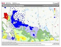
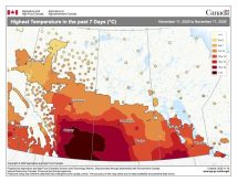
To use the atlas, go to climateatlas.ca and once the intro is done, click on the thermometer icon on the left-hand side of the page to bring up a map of the Prairies. Then click on Communities at the top of the page; select Municipal Zones from the drop-down menu; and use your cursor and the plus sign button (in the lower right corner) to zoom in on your county or municipal district. Finally, use the Near/Far Future and Low/High Carbon buttons at the bottom of the page to see projections for the number of days when the temperature will be 30 C or higher.
Scrolling down the page between the map and icons, will bring up precipitation projections (first for winter, and then spring and fall). Once again, you can select the Near/Far Future and Low/High Carbon options.
Continuing to scroll down (or clicking on the snowflake icon) will bring up the projections for the number of frost-free days.


