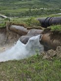
More Alberta communities are getting new and replacement flood mapping to support emergency response and long-term planning.
The federal government is providing $8.7 million through the National Disaster Mitigation Program for 18 projects. They include new or replacement flood mapping for Drumheller, Medicine Hat, Siksika Nation, Red Deer, and more than 100 kilometres of the North Saskatchewan River, including Edmonton. The province is contributing more than $5 million to the projects as part of a cost-sharing agreement.
The National Disaster Mitigation Program is part of the federal government’s strategy to address the soaring costs of natural disasters. The government funding will also be used to assess the potential for debris floods near Canmore, storm water vulnerabilities in Calgary, and flood risks in communities such as Manning, Stettler, Lacombe, and the Municipal District of Crowsnest Pass. Projects to improve forecasting and warning systems, and improve access and interaction with provincial flood-inundation maps, also received funding.
Read Also
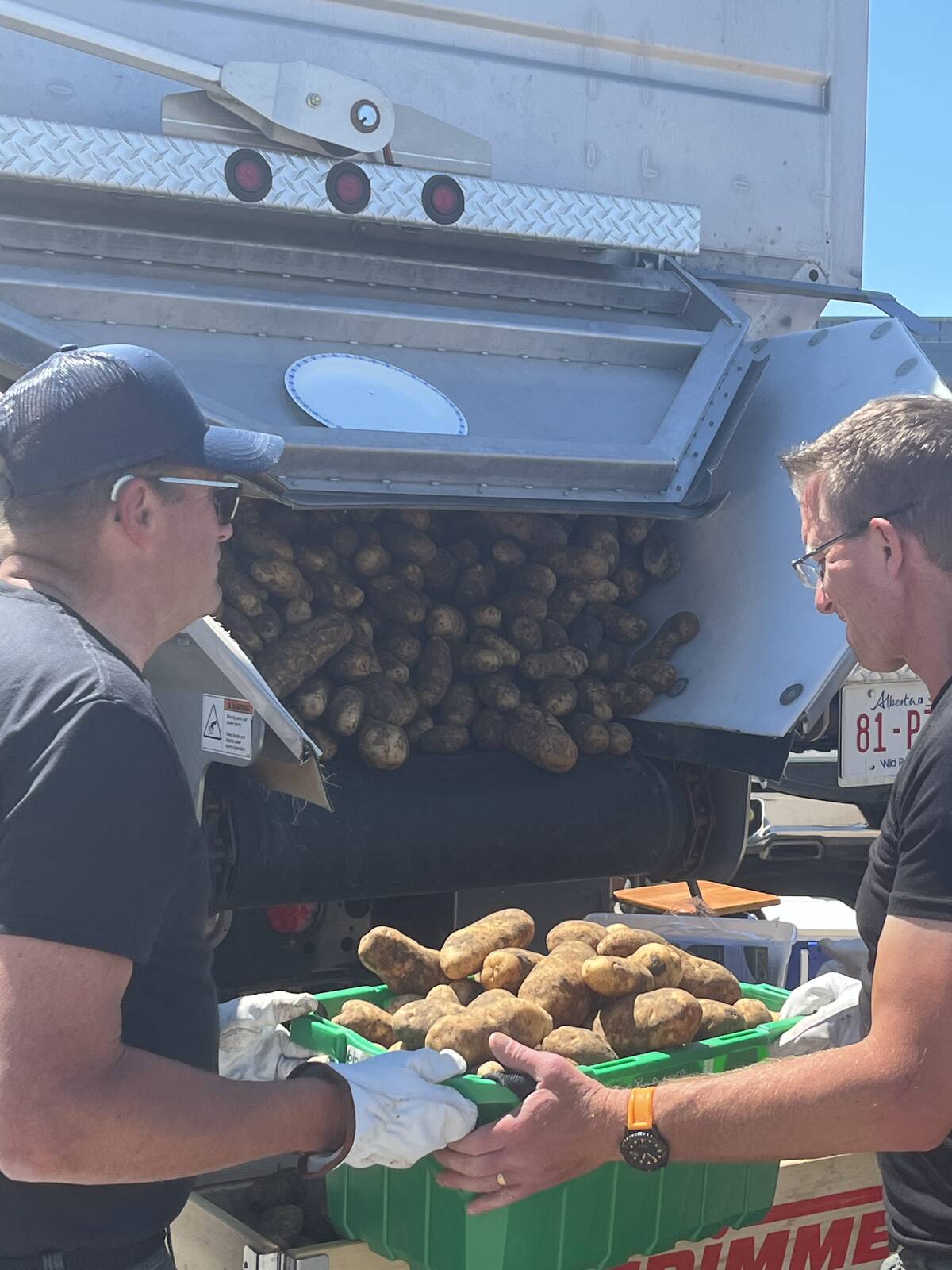
Farming Smarter receives financial boost from Alberta government for potato research
Farming Smarter near Lethbridge got a boost to its research equipment, thanks to the Alberta government’s increase in funding for research associations.
Alberta has launched 13 river hazard studies since 2015 that will produce new and replacement flood mapping for more than 1,300 kilometres of river through more than 30 communities. Many of these studies are nearing completion. Since 2013, the province has spent more than $700 million in community-level resilience projects, erosion control, upstream storage, flood mapping, flood forecasting and emergency preparedness, and watershed health to improve flood and drought resilience across the province.
For example, a $1.2-million flood mapping project, which began late last summer, will identify river and flood hazards within the Town of Drumheller; Kneehill, Starland, and Wheatland counties; and Special Areas No. 2. The project covers 53 kilometres of the Red Deer River, eight kilometres of Kneehills Creek from the confluence with the Red Deer River, five kilometres of Michichi Creek, 10 kilometres of Rosebud River, and three kilometres of Willow Creek up to the Town of Drumheller boundary.
Another example is a $1.4-million hazard study for the Upper Red Deer River, due to be completed next summer, that includes a flood hazard map along the Red Deer River and Bearberry Creek. Along with identifying areas not suitable for development because of flood risk, the map will help emergency responders decide the best route of evacuation and the best locations for construction of temporary flood control barriers.