Whether buying or renting, it pays to know the quality, suitability, and capability of soil, says Ron McNeil, a soil scientist and founder and president of Landwise Inc.
Quality is a measure of the performance of the land, whether it’s managed or under natural use, says McNeil, who has also farmed 800 acres of black soil west of Red Deer for the past 29 years. Parcels of land can be compared by their limitations. Suitability is another concept and can be used to define quantitative measures, such as soil surveys.
Read Also
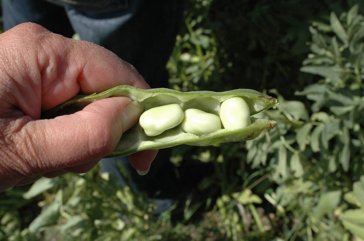
New crop insurer policy enables easier startup for faba beans
Agriculture Financial Services Corporation updated its normals for faba beans, which may open the door for more Canadian producers to feel comfortable growing the pulse crop in the future.
The range site concept can be used to compare and look at the performance of different pieces of land. The concept was developed in the late 1980s and has ties to sustainable resource development and soil survey information. Fifteen range sites are defined based on landscape, soil features, and textural groups.
Normal soils include clay or loamy, while limited can include gravel or badlands. Superior may include irrigated or sub-irrigated soils. Range sites are measured on a continuum from least productive to most productive.
“There are some that are considered normal, based on location; some that are considered superior based on what moisture they receive; and ones that are limited through either moisture or soil chemistry,” said McNeil.
What is the range site concept?
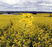
Range sites differ by natural regions and sub-regions. Many of the patterns seen on a sub-region map can be related to patterns seen on soil group maps, said McNeil.
“Dry mixed grass is the brown soil zone. Mixed grass is dark brown. The Parkland area is very much the black soil zone,” he said. “This gives you an idea of soils and how it is related to natural sub-regions.”
Range sites, native plant communities, and introduced plant communities are all related to each other. Range sites will vary within a parcel of land, he said. Some landscapes will include combinations or different expressions.
Soil is made up of sand, silt, and clay. All soil textures are made up of combinations of these three types. For example, a loam may be made up of 40 per cent sand, 20 per cent clay and 40 per cent silt, McNeil said. The soil textural triangle allows producers to know where groups fall and the expected soil textures, which can help determine the soil texture at the range site.
Alberta soil types
Three textural groups commonly found in central Alberta are loam, clay, and limey soil.
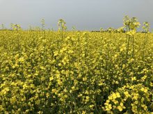
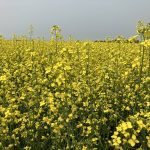
Loam soil represents around 70 per cent of Prairie conditions and is very common on glacial till. It contains some stones and has some hummocky areas. Clay soil is less common, but very distinct. Clay soils will crack when dry and then swell or expand when moisture is added.
“This shrink-swell cycle is what keeps this landscape quite uneven,” said McNeil. “You’ll typically have it in your true low areas, and have distinct plant communities, usually wheat-grass, associated with it.”
Limey soil is a shallow, immature soil that does have carbonates that leach down into it. It’s more common in the drier areas of the Prairies and is typically in higher slope positions because water runs off of it.
Producers wanting to assess their soil can use a computerized model called AGRASID, (Agricultural Region of Alberta Soil Information Database). The tool is presented on a scale of 1: 100,000. Every symbol on an AGRASID map is a combination of letters and numbers which describe the soil model and landscape model to denote the general lay of the land, and the soil classes and modifiers relating to that particular landscape. Soil series are included in the database and are related to geographic features in that climactic area.
To access AGRAS ID, type “Alberta soil information viewer” into a search engine such as Google. Then type in your township and range or location from a municipal map index. Some counties in the province have done a more detailed level soil survey than AGRASID, said McNeil.
The air photo base is another good tool to use for detailed maps on parcels of land, he said. Another useful Internet tool is the Index of Range plant community guides that can be found on Alberta’s Sustainable Resource Development website. Producers can find this page by typing “Range Plant community guides” into the search bar on the SRD website.