The Farmers’ Advocate Office (FAO) is currently collecting surface lease, transmission line, seismic, and pipeline right-of-way agreements from landowners for the Surface Rights, Land, and Energy: Pricing Transparency Mapping Project.
“There is currently no central repository where this type of information is compiled and accessible to landowners,” said Jeana Les, research and communications specialist for the FAO.
“When negotiating with energy companies, landowners want to know if the compensation offer made by the land agent is within the range offered to other landowners,” says Les. “The Pricing Transparency Maps will provide a starting point for rural landowners who are negotiating with energy companies.”
Read Also
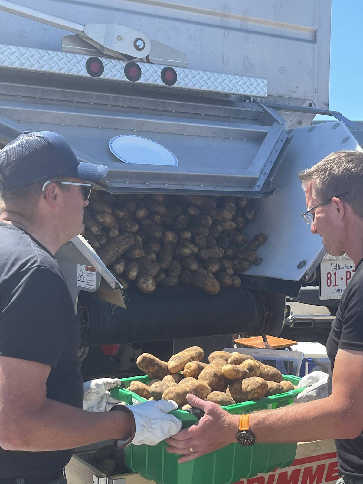
Farming Smarter receives financial boost from Alberta government for potato research
Farming Smarter near Lethbridge got a boost to its research equipment, thanks to the Alberta government’s increase in funding for research associations.
Landowners were positive about the compensation maps the FAO produced from 2007-09, said Les. The four new online maps, to be released this fall, will be more robust and interactive, and include a greater number of details and better sorting functions. They will be updated on a continuous basis.
The FAO is currently accepting seismic and pipeline right-of-way agreements no older than 2011, and surface lease and transmission agreements no older than 2010. Originals should not be submitted, as they will not be returned, and no agreements containing a privacy clause will be accepted.
Participants will be required to sign a release pursuant to the Freedom of Information and Protection of Privacy Act. Names and contact information will not be released through the maps, but the legal land description will be included.
For more information, contact Les at [email protected] or call 310-FARM (3276).